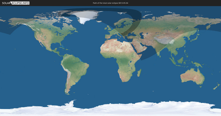
Totale Sonnenfinsternis vom 04.05.0813
| Wochentag: | Samstag |
| Maximale Dauer der Verfinsterung: | 03m34s |
| Maximale Breite des Finsternispfades: | 556 km |
| Saroszyklus: | 109 |
| Bedeckungsgrad: | 100% |
| Magnitude: | 1.0659 |
| Gamma: | 0.9209 |
Wo kann man die Sonnenfinsternis vom 04.05.0813 sehen?
Die Sonnenfinsternis am 04.05.0813 kann man in 74 Ländern als partielle Sonnenfinsternis beobachten.
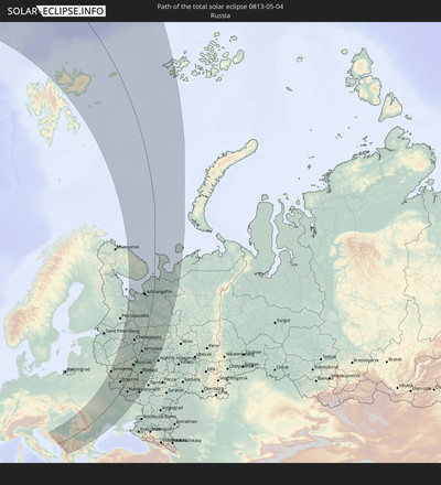
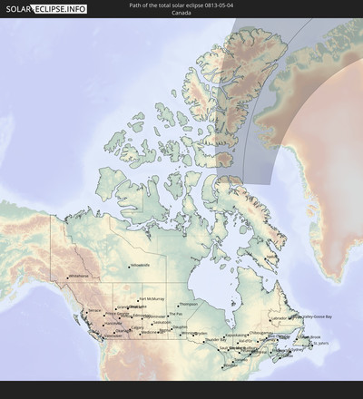
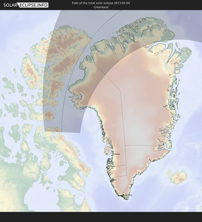
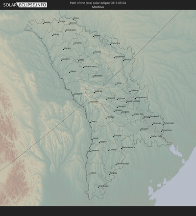
Der Finsternispfad verläuft durch 16 Länder. Nur in diesen Ländern ist sie als totale Sonnenfinsternis zu sehen.
In den folgenden Ländern ist die Sonnenfinsternis total zu sehen
In den folgenden Ländern ist die Sonnenfinsternis partiell zu sehen
 Russland
 Vereinigte Staaten
 Kanada
 Grönland
 Island
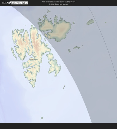
 Spitzbergen
 Vereinigtes Königreich
 Färöer
 Niederlande
 Norwegen
 Deutschland
 Dänemark
 Österreich
 Schweden
 Tschechien
 Slowenien
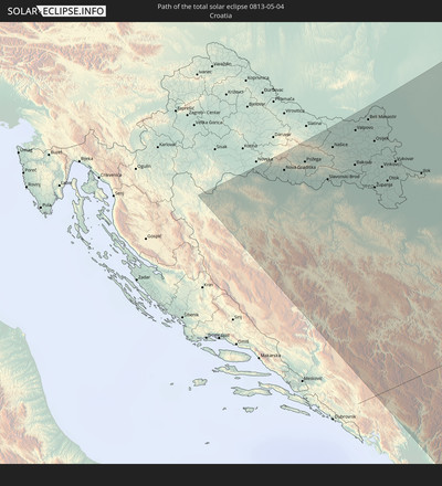
 Kroatien
 Polen
Polen
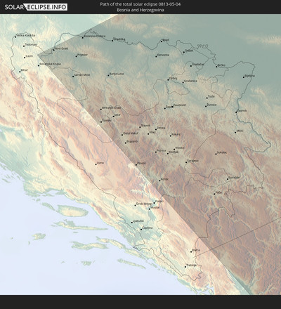
 Bosnien und Herzegowina
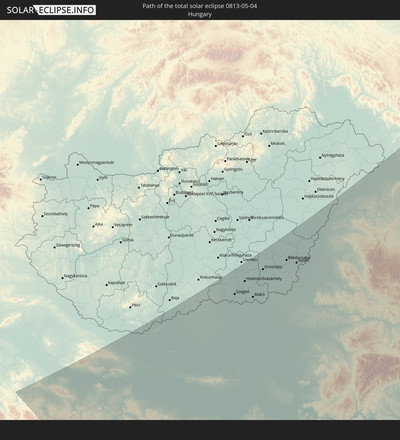
 Ungarn
 Slowakei
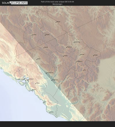
 Montenegro
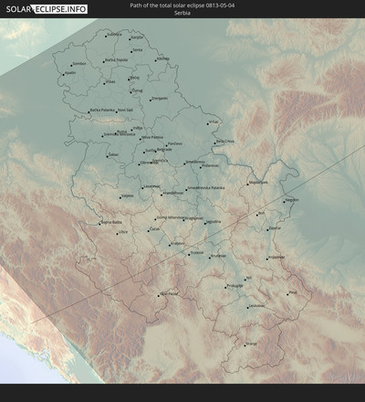
 Serbien
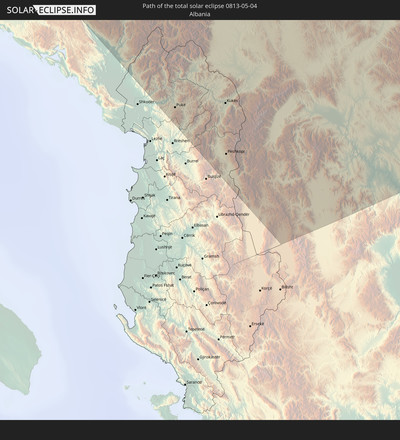
 Albanien
 Åland Islands
 Griechenland
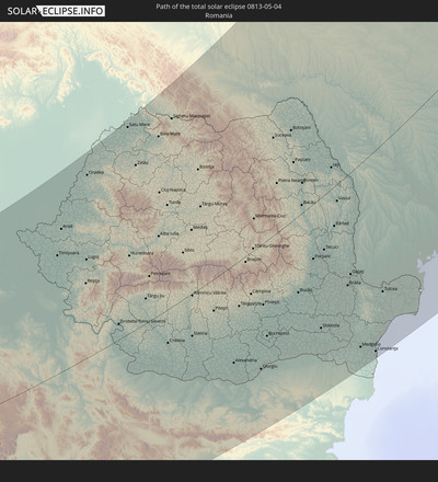
 Rumänien
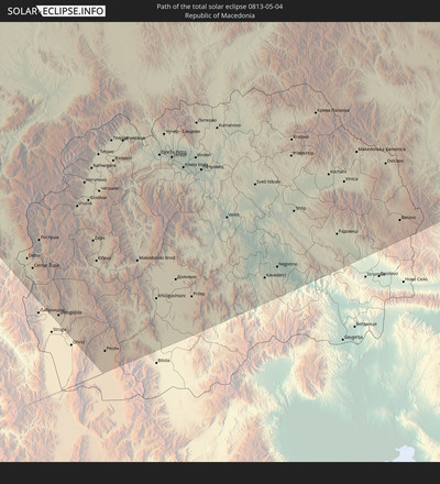
 Mazedonien
 Finnland
 Litauen
 Lettland
 Estland
 Sudan
Sudan
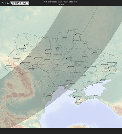
 Ukraine
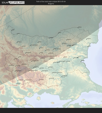
 Bulgarien
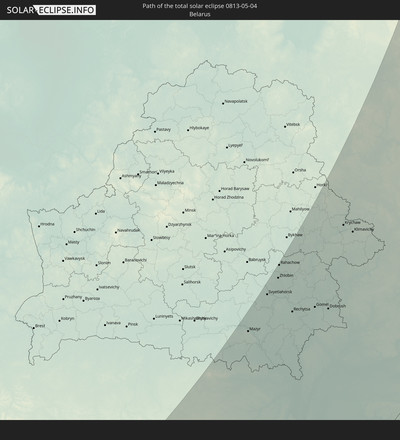
 Weißrussland
 Ägypten
 Türkei
 Moldawien
 Republik Zypern
 Äthiopien
 Staat Palästina
 Israel
 Saudi-Arabien
 Jordanien
 Libanon
 Syrien
 Eritrea
 Irak
Irak
 Georgien
 Somalia
 Dschibuti
 Jemen
Jemen
 Armenien
 Iran
Iran
 Aserbaidschan
 Kasachstan
 Kuwait
 Bahrain
 Katar
Katar
 Vereinigte Arabische Emirate
 Oman
Oman
 Turkmenistan
 Usbekistan
 Afghanistan
 Pakistan
 Tadschikistan
 Indien
 Kirgisistan
 Volksrepublik China
 Nepal
Nepal
 Mongolei
 Bangladesch
 Bhutan
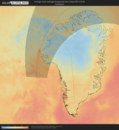
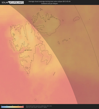
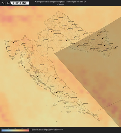
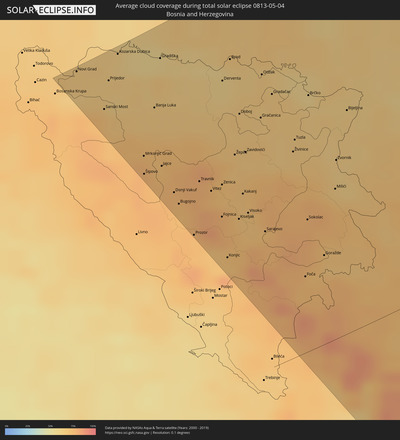
Wie wird das Wetter während der totalen Sonnenfinsternis am 04.05.0813?
Wo ist der beste Ort, um die totale Sonnenfinsternis vom 04.05.0813 zu beobachten?
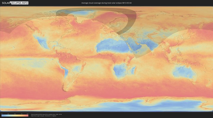
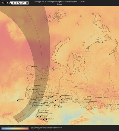
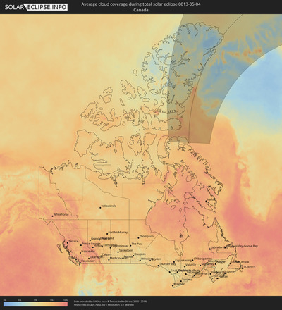
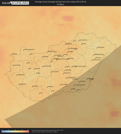
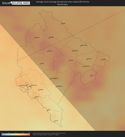
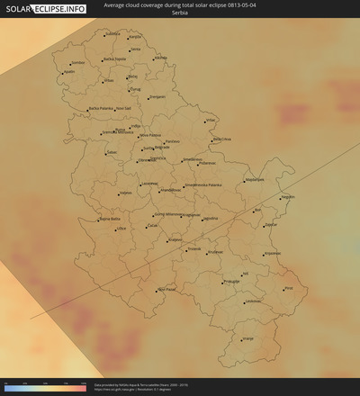
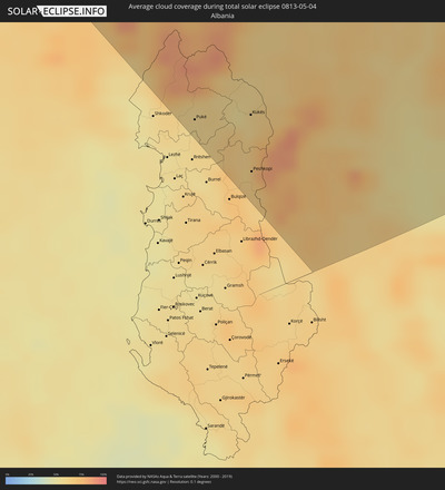
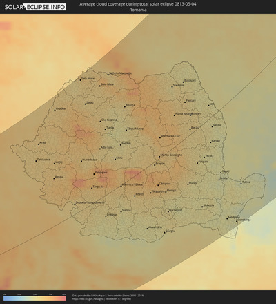
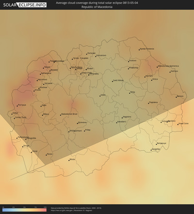
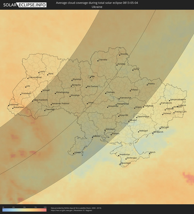
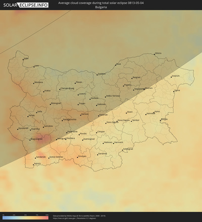
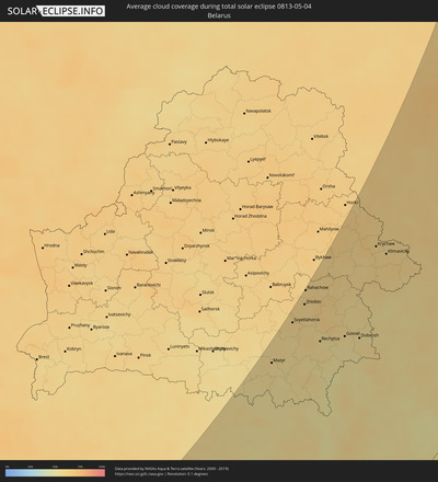
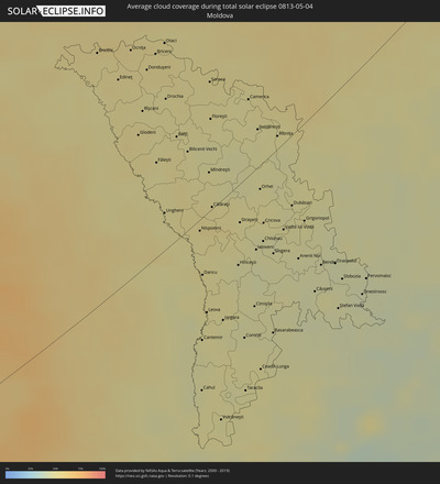
Die folgenden Karten zeigen die durchschnittliche Bewölkung für den Tag, an dem die totale Sonnenfinsternis
stattfindet. Mit Hilfe der Karten lässt sich der Ort entlang des Finsternispfades eingrenzen,
der die besten Aussichen auf einen klaren wolkenfreien Himmel bietet.
Trotzdem muss man immer lokale Gegenenheiten beachten und sollte sich genau über das Wetter an seinem
gewählten Beobachtungsort informieren.
Die Daten stammen von den beiden NASA-Satelliten
AQUA und TERRA
und wurden über einen Zeitraum von 19 Jahren (2000 - 2019) gemittelt.
Detaillierte Länderkarten
Orte im Finsternispfad
Die nachfolgene Tabelle zeigt Städte und Orte mit mehr als 5.000 Einwohnern, die sich im Finsternispfad befinden. Städte mit mehr als 100.000 Einwohnern sind dick gekennzeichnet. Mit einem Klick auf den Ort öffnet sich eine Detailkarte die die Lage des jeweiligen Ortes zusammen mit dem Verlauf der zentralen Finsternis präsentiert.
| Ort | Typ | Dauer der Verfinsterung | Ortszeit bei maximaler Verfinsterung | Entfernung zur Zentrallinie | Ø Bewölkung |
 Prijedor, Republic of Srspka
|
total | - | 04:38:47 UTC+01:00 | 278 km | 65% |
 Mrkonjić Grad, Republic of Srspka
|
total | - | 04:37:50 UTC+01:00 | 210 km | 76% |
 Banja Luka, Republic of Srspka
|
total | - | 04:38:18 UTC+01:00 | 241 km | 67% |
 Nova Gradiška, Slavonski Brod-Posavina
|
total | - | 04:38:53 UTC+01:00 | 283 km | 63% |
 Bugojno, Federation of Bosnia and Herzegovina
|
total | - | 04:37:11 UTC+01:00 | 160 km | 74% |
 Travnik, Federation of Bosnia and Herzegovina
|
total | - | 04:37:19 UTC+01:00 | 169 km | 75% |
 Požega, Požeško-Slavonska
|
total | - | 04:38:52 UTC+01:00 | 281 km | 63% |
 Zenica, Federation of Bosnia and Herzegovina
|
total | - | 04:37:11 UTC+01:00 | 160 km | 71% |
 Konjic, Federation of Bosnia and Herzegovina
|
total | - | 04:36:24 UTC+01:00 | 101 km | 71% |
 Slavonski Brod, Slavonski Brod-Posavina
|
total | - | 04:38:29 UTC+01:00 | 252 km | 64% |
 Doboj, Republic of Srspka
|
total | - | 04:37:51 UTC+01:00 | 206 km | 67% |
 Našice, Osječko-Baranjska
|
total | - | 04:38:55 UTC+01:00 | 282 km | 66% |
 Visoko, Federation of Bosnia and Herzegovina
|
total | - | 04:36:46 UTC+01:00 | 128 km | 70% |
 Gračanica, Federation of Bosnia and Herzegovina
|
total | - | 04:37:43 UTC+01:00 | 196 km | 67% |
 Sarajevo, Federation of Bosnia and Herzegovina
|
total | - | 04:36:30 UTC+01:00 | 108 km | 75% |
 Belišće, Osječko-Baranjska
|
total | - | 04:39:03 UTC+01:00 | 290 km | 67% |
 Đakovo, Osječko-Baranjska
|
total | - | 04:38:31 UTC+01:00 | 253 km | 68% |
 Valpovo, Osječko-Baranjska
|
total | - | 04:39:01 UTC+01:00 | 287 km | 67% |
 Gradačac, Federation of Bosnia and Herzegovina
|
total | - | 04:37:55 UTC+01:00 | 209 km | 66% |
 Čepin, Osječko-Baranjska
|
total | - | 04:38:46 UTC+01:00 | 269 km | 68% |
 Beli Manastir, Osječko-Baranjska
|
total | - | 04:39:06 UTC+01:00 | 292 km | 66% |
 Višnjevac, Osječko-Baranjska
|
total | - | 04:38:49 UTC+01:00 | 271 km | 67% |
 Tuzla, Federation of Bosnia and Herzegovina
|
total | - | 04:37:20 UTC+01:00 | 167 km | 67% |
 Ivankovo, Vukovar-Sirmium
|
total | - | 04:38:23 UTC+01:00 | 241 km | 66% |
 Osijek, Osječko-Baranjska
|
total | - | 04:38:45 UTC+01:00 | 267 km | 66% |
 Županja, Vukovar-Sirmium
|
total | - | 04:38:05 UTC+01:00 | 220 km | 60% |
 Tenja, Osječko-Baranjska
|
total | - | 04:38:39 UTC+01:00 | 260 km | 66% |
 Vinkovci, Vukovar-Sirmium
|
total | - | 04:38:20 UTC+01:00 | 237 km | 67% |
 Brčko, Brčko
|
total | - | 04:37:44 UTC+01:00 | 195 km | 63% |
 Plužine, Opština Plužine
|
total | - | 04:35:20 UTC+01:00 | 21 km | 80% |
 Nikšić, Opština Nikšić
|
total | - | 04:34:45 UTC+01:00 | 21 km | 70% |
 Goražde, Federation of Bosnia and Herzegovina
|
total | - | 04:35:59 UTC+01:00 | 69 km | 68% |
 Vukovar, Vukovar-Sirmium
|
total | - | 04:38:20 UTC+01:00 | 235 km | 65% |
 Šavnik, Opština Šavnik
|
total | - | 04:34:57 UTC+01:00 | 7 km | 78% |
 Žabljak, Opština Žabljak
|
total | - | 04:35:12 UTC+01:00 | 12 km | 83% |
 Danilovgrad, Danilovgrad
|
total | - | 04:34:22 UTC+01:00 | 50 km | 64% |
 Bijeljina, Republic of Srspka
|
total | - | 04:37:25 UTC+01:00 | 170 km | 65% |
 Podgorica, Podgorica
|
total | - | 04:34:10 UTC+01:00 | 65 km | 57% |
 Bácsalmás, Bács-Kiskun
|
total | - | 04:39:19 UTC+01:00 | 300 km | 68% |
 Pljevlja, Pljevlja
|
total | - | 04:35:23 UTC+01:00 | 24 km | 76% |
 Kolašin, Opština Kolašin
|
total | - | 04:34:35 UTC+01:00 | 35 km | 74% |
 Mojkovac, Mojkovac
|
total | - | 04:34:45 UTC+01:00 | 23 km | 75% |
 Subotica, Vojvodina
|
total | - | 04:39:09 UTC+01:00 | 284 km | 67% |
 Bijelo Polje, Bijelo Polje
|
total | - | 04:34:47 UTC+01:00 | 21 km | 74% |
 Andrijevica, Andrijevica
|
total | - | 04:34:20 UTC+01:00 | 53 km | 80% |
 Novi Sad, Vojvodina
|
total | - | 04:37:52 UTC+01:00 | 195 km | 63% |
 Užice, Central Serbia
|
total | - | 04:35:53 UTC+01:00 | 57 km | 72% |
 Berane, Berane
|
total | - | 04:34:27 UTC+01:00 | 45 km | 74% |
 Valjevo, Central Serbia
|
total | - | 04:36:27 UTC+01:00 | 97 km | 69% |
 Pukë, Shkodër
|
total | - | 04:52:40 UTC+01:19 | 127 km | 60% |
 Plav, Opština Plav
|
total | - | 04:34:05 UTC+01:00 | 72 km | 80% |
 Kistelek, Csongrád
|
total | - | 04:39:35 UTC+01:00 | 308 km | 68% |
 Szeged, Csongrád
|
total | - | 04:39:12 UTC+01:00 | 281 km | 66% |
 Rožaje, Opština Rožaje
|
total | - | 04:34:19 UTC+01:00 | 57 km | 81% |
 Mindszent, Csongrád
|
total | - | 04:39:34 UTC+01:00 | 305 km | 66% |
 Hódmezővásárhely, Csongrád
|
total | - | 04:39:22 UTC+01:00 | 289 km | 66% |
 Čačak, Central Serbia
|
total | - | 04:35:44 UTC+01:00 | 42 km | 67% |
 Zrenjanin, Vojvodina
|
total | - | 04:37:51 UTC+01:00 | 188 km | 64% |
 Kukës, Kukës
|
total | - | 04:52:30 UTC+01:19 | 142 km | 59% |
 Peshkopi, Dibër
|
total | - | 04:51:57 UTC+01:19 | 181 km | 63% |
 Belgrade, Central Serbia
|
total | - | 04:36:59 UTC+01:00 | 128 km | 64% |
 Makó, Csongrád
|
total | - | 04:39:01 UTC+01:00 | 264 km | 62% |
 Novi Pazar, Central Serbia
|
total | - | 04:34:36 UTC+01:00 | 38 km | 68% |
 Centar Župa, Centar Župa
|
total | - | 04:32:16 UTC+01:00 | 207 km | 69% |
 Pančevo, Vojvodina
|
total | - | 04:37:01 UTC+01:00 | 128 km | 61% |
 Orosháza, Bekes
|
total | - | 04:39:28 UTC+01:00 | 290 km | 63% |
 Kraljevo, Central Serbia
|
total | - | 04:35:22 UTC+01:00 | 14 km | 65% |
 Gostivar, Gostivar
|
total | - | 04:32:34 UTC+01:00 | 187 km | 71% |
 Mezőkovácsháza, Bekes
|
total | - | 04:39:08 UTC+01:00 | 264 km | 64% |
 Kragujevac, Central Serbia
|
total | - | 04:35:41 UTC+01:00 | 34 km | 66% |
 Smederevo, Central Serbia
|
total | - | 04:36:36 UTC+01:00 | 97 km | 65% |
 Kičevo, Kičevo
|
total | - | 04:32:09 UTC+01:00 | 217 km | 67% |
 Tetovo, Tetovo
|
total | - | 04:32:50 UTC+01:00 | 168 km | 67% |
 Ресен, Resen Municipality
|
total | - | 04:31:33 UTC+01:00 | 262 km | 63% |
 Battonya, Bekes
|
total | - | 04:38:55 UTC+01:00 | 249 km | 62% |
 Mezőberény, Bekes
|
total | - | 04:39:42 UTC+01:00 | 298 km | 61% |
 Békéscsaba, Bekes
|
total | - | 04:39:29 UTC+01:00 | 283 km | 64% |
 Szeghalom, Bekes
|
total | - | 04:39:58 UTC+01:00 | 313 km | 61% |
 Timişoara, Timiş
|
total | - | 05:22:28 UTC+01:44 | 190 km | 62% |
 Vésztő, Bekes
|
total | - | 04:39:46 UTC+01:00 | 298 km | 62% |
 Arad, Arad
|
total | - | 05:23:04 UTC+01:44 | 227 km | 63% |
 Kruševac, Central Serbia
|
total | - | 04:34:54 UTC+01:00 | 25 km | 65% |
 Sarkad, Bekes
|
total | - | 04:39:28 UTC+01:00 | 278 km | 65% |
 Skopje, Karpoš
|
total | - | 04:32:38 UTC+01:00 | 186 km | 60% |
 Berettyóújfalu, Hajdú-Bihar
|
total | - | 04:40:06 UTC+01:00 | 314 km | 61% |
 Prilep, Prilep
|
total | - | 04:31:40 UTC+01:00 | 255 km | 64% |
 Kumanovo, Kumanovo
|
total | - | 04:32:42 UTC+01:00 | 182 km | 57% |
 Veles, Veles
|
total | - | 04:32:06 UTC+01:00 | 226 km | 52% |
 Létavértes, Hajdú-Bihar
|
total | - | 04:40:14 UTC+01:00 | 314 km | 62% |
 Vranje, Central Serbia
|
total | - | 04:33:13 UTC+01:00 | 148 km | 61% |
 Niš, Central Serbia
|
total | - | 04:34:19 UTC+01:00 | 72 km | 58% |
 Oradea, Bihor
|
total | - | 05:24:08 UTC+01:44 | 283 km | 62% |
 Leskovac, Central Serbia
|
total | - | 04:33:50 UTC+01:00 | 105 km | 60% |
 Kavadarci, Kavadarci
|
total | - | 04:31:36 UTC+01:00 | 263 km | 55% |
 Shtip, Štip
|
total | - | 04:31:58 UTC+01:00 | 239 km | 52% |
 Крива Паланка, Kriva Palanka
|
total | - | 04:32:33 UTC+01:00 | 199 km | 65% |
 Kochani, Kočani
|
total | - | 04:32:07 UTC+01:00 | 230 km | 56% |
 Радовиш, Radoviš
|
total | - | 04:31:42 UTC+01:00 | 259 km | 56% |
 Kyustendil, Kyustendil
|
total | - | 05:32:32 UTC+02:00 | 204 km | 65% |
 Delcevo, Delčevo
|
total | - | 04:32:03 UTC+01:00 | 238 km | 66% |
 Berovo, Berovo
|
total | - | 04:31:38 UTC+01:00 | 268 km | 71% |
 Vidin, Vidin
|
total | - | 05:34:54 UTC+02:00 | 45 km | 55% |
 Pernik, Pernik
|
total | - | 05:32:51 UTC+02:00 | 186 km | 62% |
 Blagoevgrad, Blagoevgrad
|
total | - | 05:31:59 UTC+02:00 | 246 km | 55% |
 Montana, Montana
|
total | - | 05:33:56 UTC+02:00 | 115 km | 59% |
 Sofia, Sofia-Capital
|
total | - | 05:32:52 UTC+02:00 | 188 km | 63% |
 Vratsa, Vratsa
|
total | - | 05:33:31 UTC+02:00 | 148 km | 64% |
 Cluj-Napoca, Cluj
|
total | - | 05:23:09 UTC+01:44 | 184 km | 62% |
 Craiova, Dolj
|
total | - | 05:19:27 UTC+01:44 | 52 km | 52% |
 Sibiu, Sibiu
|
total | - | 05:21:31 UTC+01:44 | 71 km | 61% |
 Pazardzhik, Pazardzhik
|
total | - | 05:31:47 UTC+02:00 | 277 km | 58% |
 Târgu-Mureş, Mureş
|
total | - | 05:22:31 UTC+01:44 | 120 km | 55% |
 Pleven, Pleven
|
total | - | 05:33:27 UTC+02:00 | 172 km | 52% |
 Lovech, Lovech
|
total | - | 05:33:00 UTC+02:00 | 203 km | 54% |
 Piteşti, Argeş
|
total | - | 05:19:52 UTC+01:44 | 48 km | 60% |
 Gabrovo, Gabrovo
|
total | - | 05:32:24 UTC+02:00 | 253 km | 60% |
 Kazanlak, Stara Zagora
|
total | - | 05:32:00 UTC+02:00 | 281 km | 59% |
 Braşov, Braşov
|
total | - | 05:20:50 UTC+01:44 | 8 km | 72% |
 Veliko Tŭrnovo, Veliko Tŭrnovo
|
total | - | 05:32:36 UTC+02:00 | 246 km | 55% |
 Ruse, Ruse
|
total | - | 05:33:38 UTC+02:00 | 189 km | 52% |
 Ploieşti, Prahova
|
total | - | 05:19:39 UTC+01:44 | 90 km | 59% |
 Bucharest, Bucureşti
|
total | - | 05:18:51 UTC+01:44 | 141 km | 55% |
 Bacău, Bacău
|
total | - | 05:21:51 UTC+01:44 | 12 km | 57% |
 Shumen, Shumen
|
total | - | 05:32:27 UTC+02:00 | 285 km | 56% |
 Khmel’nyts’kyy, Khmelnytskyi
|
total | - | 05:43:57 UTC+02:02 | 243 km | 57% |
 Silistra, Silistra
|
total | - | 05:33:37 UTC+02:00 | 223 km | 52% |
 Edineţ, Raionul Edineţ
|
total | - | 05:34:51 UTC+01:55 | 128 km | 52% |
 Iaşi, Iaşi
|
total | - | 05:22:36 UTC+01:44 | 29 km | 52% |
 Ungheni, Ungheni
|
total | - | 05:33:13 UTC+01:55 | 23 km | 49% |
 Bălţi, Bălţi
|
total | - | 05:34:03 UTC+01:55 | 63 km | 50% |
 Brăila, Brăila
|
total | - | 05:19:33 UTC+01:44 | 153 km | 46% |
 Galaţi, Galaţi
|
total | - | 05:19:49 UTC+01:44 | 140 km | 45% |
 Cahul, Cahul
|
total | - | 05:31:05 UTC+01:55 | 108 km | 48% |
 Soroca, Raionul Soroca
|
total | - | 05:34:34 UTC+01:55 | 76 km | 51% |
 Floreşti, Floreşti
|
total | - | 05:34:09 UTC+01:55 | 54 km | 50% |
 Vinnytsya, Vinnyts'ka
|
total | - | 05:43:18 UTC+02:02 | 151 km | 56% |
 Hînceşti, Hînceşti
|
total | - | 05:32:25 UTC+01:55 | 48 km | 47% |
 Straşeni, Strășeni
|
total | - | 05:32:54 UTC+01:55 | 23 km | 50% |
 Constanţa, Constanța
|
total | - | 05:17:43 UTC+01:44 | 281 km | 44% |
 Comrat, Găgăuzia
|
total | - | 05:31:34 UTC+01:55 | 97 km | 48% |
 Zhytomyr, Zhytomyr
|
total | - | 05:44:55 UTC+02:02 | 217 km | 53% |
 Orhei, Orhei
|
total | - | 05:33:14 UTC+01:55 | 14 km | 50% |
 Ceadîr-Lunga, Găgăuzia
|
total | - | 05:31:09 UTC+01:55 | 125 km | 49% |
 Chisinau, Chişinău
|
total | - | 05:32:37 UTC+01:55 | 47 km | 47% |
 Rîbniţa, Stînga Nistrului
|
total | - | 05:33:47 UTC+01:55 | 8 km | 49% |
 Dubăsari, Teleneşti
|
total | - | 05:32:57 UTC+01:55 | 41 km | 48% |
 Mazyr, Gomel
|
total | - | 05:35:39 UTC+01:50 | 307 km | 56% |
 Căuşeni, Căuşeni
|
total | - | 05:31:55 UTC+01:55 | 106 km | 45% |
 Tiraspolul, Stînga Nistrului
|
total | - | 05:32:11 UTC+01:55 | 100 km | 45% |
 Svyetlahorsk, Gomel
|
total | - | 05:36:32 UTC+01:50 | 316 km | 60% |
 Khoyniki, Gomel
|
total | - | 05:35:16 UTC+01:50 | 258 km | 58% |
 Zhlobin, Gomel
|
total | - | 05:36:55 UTC+01:50 | 315 km | 60% |
 Rahachow, Gomel
|
total | - | 05:37:14 UTC+01:50 | 326 km | 59% |
 Rechytsa, Gomel
|
total | - | 05:35:58 UTC+01:50 | 262 km | 56% |
 Kiev, Kyiv City
|
total | - | 05:44:52 UTC+02:02 | 130 km | 54% |
 Odessa, Odessa
|
total | - | 05:38:25 UTC+02:02 | 186 km | 43% |
 Kastsyukowka, Gomel
|
total | - | 05:36:11 UTC+01:50 | 243 km | 57% |
 Chavusy, Mogilev
|
total | - | 05:38:18 UTC+01:50 | 313 km | 63% |
 Gomel, Gomel
|
total | - | 05:36:00 UTC+01:50 | 234 km | 54% |
 Slawharad, Mogilev
|
total | - | 05:37:41 UTC+01:50 | 291 km | 61% |
 Vyetka, Gomel
|
total | - | 05:36:10 UTC+01:50 | 230 km | 56% |
 Chernihiv, Chernihiv
|
total | - | 05:46:28 UTC+02:02 | 158 km | 55% |
 Dobrush, Gomel
|
total | - | 05:35:54 UTC+01:50 | 212 km | 57% |
 Krychaw, Mogilev
|
total | - | 05:38:02 UTC+01:50 | 264 km | 62% |
 Mstsislaw, Mogilev
|
total | - | 05:38:33 UTC+01:50 | 280 km | 61% |
 Klimavichy, Mogilev
|
total | - | 05:37:50 UTC+01:50 | 245 km | 61% |
 Mykolayiv, Mykolaiv
|
total | - | 05:38:56 UTC+02:02 | 213 km | 46% |
 Smolensk, Smolensk
|
total | - | 06:20:06 UTC+02:30 | 300 km | 62% |
 Kastsyukovichy, Mogilev
|
total | - | 05:37:23 UTC+01:50 | 225 km | 62% |
 Cherkasy, Cherkasy
|
total | - | 05:42:55 UTC+02:02 | 28 km | 50% |
 Kirovohrad, Kirovohrad
|
total | - | 05:41:23 UTC+02:02 | 106 km | 51% |
 Kherson, Kherson
|
total | - | 05:38:18 UTC+02:02 | 270 km | 48% |
 Kryvyi Rih, Dnipropetrovsk
|
total | - | 05:40:12 UTC+02:02 | 213 km | 52% |
 Bryansk, Brjansk
|
total | - | 06:17:14 UTC+02:30 | 86 km | 56% |
 Poltava, Poltava
|
total | - | 05:42:49 UTC+02:02 | 154 km | 56% |
 Dniprodzerzhyns’k, Dnipropetrovsk
|
total | - | 05:41:00 UTC+02:02 | 235 km | 47% |
 Sumy, Sumy
|
total | - | 05:45:01 UTC+02:02 | 79 km | 50% |
 Dnipro, Dnipropetrovsk
|
total | - | 05:40:51 UTC+02:02 | 261 km | 51% |
 Tver, Tverskaya
|
total | - | 06:23:24 UTC+02:30 | 168 km | 67% |
 Orël, Orjol
|
total | - | 06:16:36 UTC+02:30 | 29 km | 50% |
 Kursk, Kursk
|
total | - | 06:14:29 UTC+02:30 | 107 km | 55% |
 Kharkiv, Kharkiv
|
total | - | 05:43:16 UTC+02:02 | 224 km | 53% |
 Kaluga, Kaluga
|
total | - | 06:19:18 UTC+02:30 | 43 km | 62% |
 Belgorod, Belgorod
|
total | - | 06:12:31 UTC+02:30 | 201 km | 52% |
 Moscow, Moscow
|
total | - | 06:21:23 UTC+02:30 | 23 km | 67% |
 Tula, Tula
|
total | - | 06:18:39 UTC+02:30 | 51 km | 58% |
 Cherepovets, Vologda
|
total | - | 06:27:24 UTC+02:30 | 132 km | 68% |
 Voronezh, Voronezj
|
total | - | 06:14:11 UTC+02:30 | 284 km | 49% |
 Lipetsk, Lipetsk
|
total | - | 06:15:48 UTC+02:30 | 251 km | 51% |
 Ryazan’, Rjazan
|
total | - | 06:19:22 UTC+02:30 | 149 km | 53% |
 Yaroslavl, Jaroslavl
|
total | - | 06:24:44 UTC+02:30 | 28 km | 65% |
 Arkhangel’sk, Arkhangelskaya
|
total | - | 06:37:17 UTC+02:30 | 102 km | 73% |
 Ivanovo, Ivanovo
|
total | - | 06:23:37 UTC+02:30 | 115 km | 66% |
