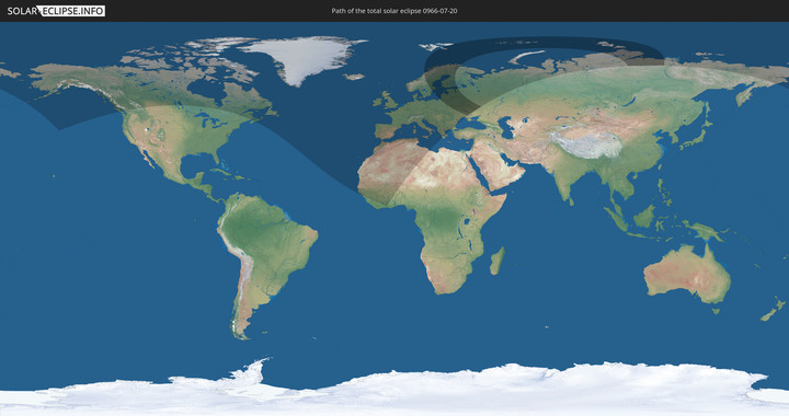
Totale Sonnenfinsternis vom 20.07.0966
| Wochentag: | Sonntag |
| Maximale Dauer der Verfinsterung: | 02m55s |
| Maximale Breite des Finsternispfades: | 597 km |
| Saroszyklus: | 90 |
| Bedeckungsgrad: | 100% |
| Magnitude: | 1.0556 |
| Gamma: | 0.9492 |
Wo kann man die Sonnenfinsternis vom 20.07.0966 sehen?
Die Sonnenfinsternis am 20.07.0966 kann man in 74 Ländern als partielle Sonnenfinsternis beobachten.
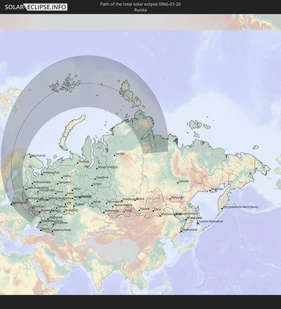
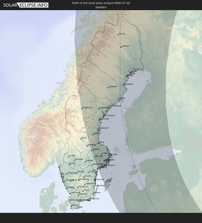
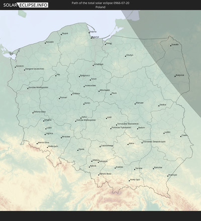
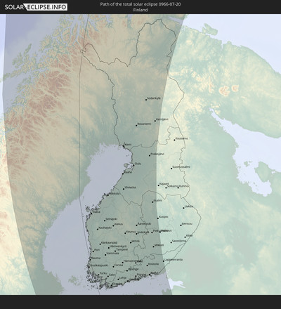
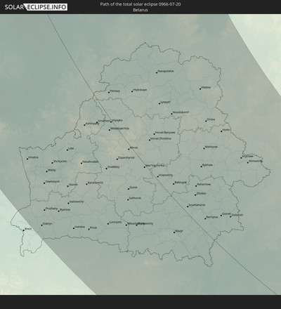
Der Finsternispfad verläuft durch 12 Länder. Nur in diesen Ländern ist sie als totale Sonnenfinsternis zu sehen.
In den folgenden Ländern ist die Sonnenfinsternis total zu sehen
In den folgenden Ländern ist die Sonnenfinsternis partiell zu sehen
 Russland
 Vereinigte Staaten
 Kanada
 Grönland
 Saint-Pierre und Miquelon
 Portugal
 Kap Verde
 Island
 Spanien
 Senegal
 Mauretanien
 Gambia
 Guinea-Bissau
 Guinea
 Sierra Leone
 Marokko
 Mali
Mali
 Liberia
 Irland
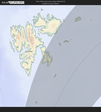
 Spitzbergen
 Algerien
 Vereinigtes Königreich
 Elfenbeinküste
 Färöer
 Burkina Faso
 Gibraltar
 Frankreich
 Isle of Man
 Ghana
Ghana
 Guernsey
 Jersey
 Togo
Togo
 Niger
Niger
 Andorra
 Belgien
 Niederlande
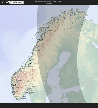
 Norwegen
 Luxemburg
 Deutschland
 Schweiz
 Italien
 Monaco
 Tunesien
 Dänemark
 Libyen
 Liechtenstein
 Österreich
 Schweden
 Tschechien
 San Marino
 Vatikanstadt
 Slowenien
 Kroatien
 Polen
Polen
 Malta
Malta
 Bosnien und Herzegowina
 Ungarn
 Slowakei
 Montenegro
 Serbien
 Albanien
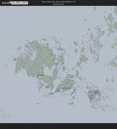
 Åland Islands
 Griechenland
 Rumänien
 Mazedonien
 Finnland
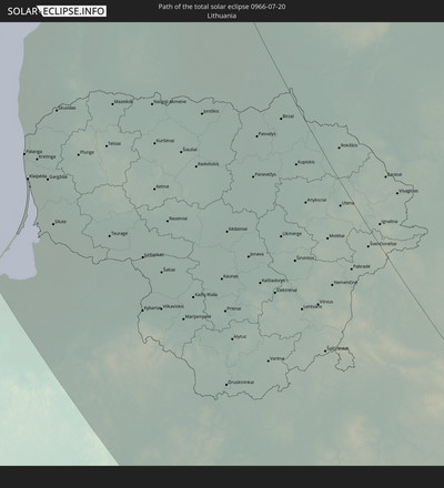
 Litauen
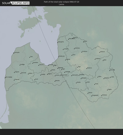
 Lettland
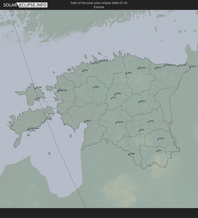
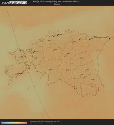
 Estland
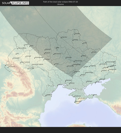
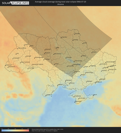
 Ukraine
 Bulgarien
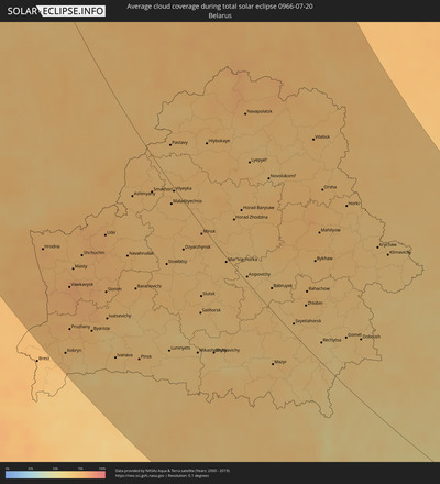
 Weißrussland
 Türkei
 Moldawien
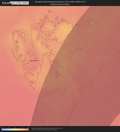
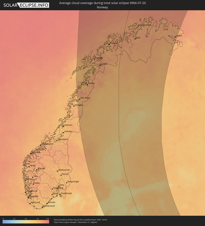
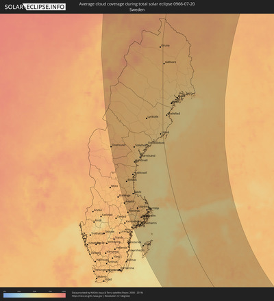
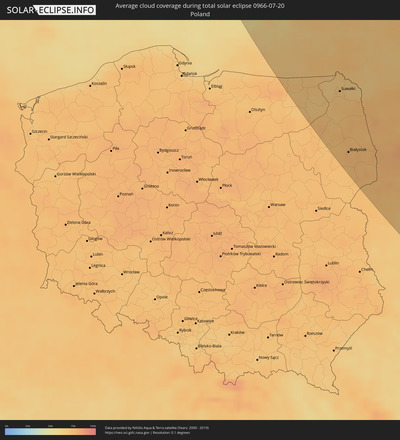
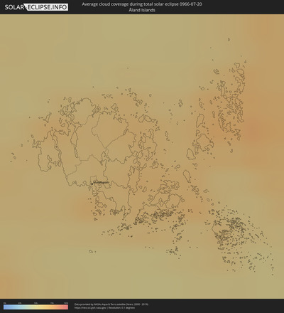
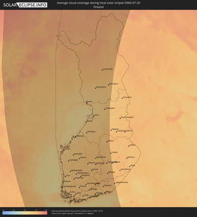
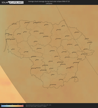
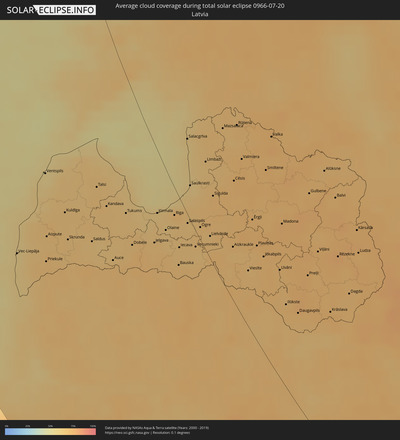
Wie wird das Wetter während der totalen Sonnenfinsternis am 20.07.0966?
Wo ist der beste Ort, um die totale Sonnenfinsternis vom 20.07.0966 zu beobachten?
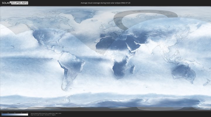
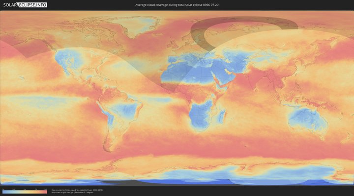
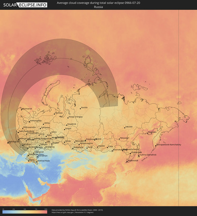
Die folgenden Karten zeigen die durchschnittliche Bewölkung für den Tag, an dem die totale Sonnenfinsternis
stattfindet. Mit Hilfe der Karten lässt sich der Ort entlang des Finsternispfades eingrenzen,
der die besten Aussichen auf einen klaren wolkenfreien Himmel bietet.
Trotzdem muss man immer lokale Gegenenheiten beachten und sollte sich genau über das Wetter an seinem
gewählten Beobachtungsort informieren.
Die Daten stammen von den beiden NASA-Satelliten
AQUA und TERRA
und wurden über einen Zeitraum von 19 Jahren (2000 - 2019) gemittelt.
Detaillierte Länderkarten
Orte im Finsternispfad
Die nachfolgene Tabelle zeigt Städte und Orte mit mehr als 5.000 Einwohnern, die sich im Finsternispfad befinden. Städte mit mehr als 100.000 Einwohnern sind dick gekennzeichnet. Mit einem Klick auf den Ort öffnet sich eine Detailkarte die die Lage des jeweiligen Ortes zusammen mit dem Verlauf der zentralen Finsternis präsentiert.
| Ort | Typ | Dauer der Verfinsterung | Ortszeit bei maximaler Verfinsterung | Entfernung zur Zentrallinie | Ø Bewölkung |
 Mo i Rana, Nordland
|
total | - | 17:57:34 UTC+01:00 | 284 km | 74% |
 Bodø, Nordland
|
total | - | 17:55:49 UTC+01:00 | 278 km | 74% |
 Östersund, Jämtland
|
total | - | 18:03:04 UTC+01:00 | 299 km | 74% |
 Fauske, Nordland
|
total | - | 17:55:48 UTC+01:00 | 241 km | 76% |
 Harstad, Troms
|
total | - | 17:52:59 UTC+01:00 | 167 km | 79% |
 Västerås, Västmanland
|
total | - | 18:08:59 UTC+01:00 | 308 km | 70% |
 Sandviken, Gävleborg
|
total | - | 18:07:14 UTC+01:00 | 261 km | 76% |
 Enköping, Uppsala
|
total | - | 18:08:52 UTC+01:00 | 279 km | 67% |
 Gävle, Gävleborg
|
total | - | 18:07:05 UTC+01:00 | 240 km | 71% |
 Sundsvall, Västernorrland
|
total | - | 18:04:07 UTC+01:00 | 185 km | 70% |
 Narvik, Nordland
|
total | - | 17:53:33 UTC+01:00 | 128 km | 82% |
 Södertälje, Stockholm
|
total | - | 18:09:31 UTC+01:00 | 267 km | 72% |
 Uppsala, Uppsala
|
total | - | 18:08:24 UTC+01:00 | 241 km | 76% |
 Upplands Väsby, Stockholm
|
total | - | 18:08:55 UTC+01:00 | 239 km | 75% |
 Stockholm, Stockholm
|
total | - | 18:09:12 UTC+01:00 | 238 km | 75% |
 Haninge, Stockholm
|
total | - | 18:09:28 UTC+01:00 | 240 km | 71% |
 Visby, Gotland
|
total | - | 18:11:59 UTC+01:00 | 297 km | 66% |
 Åkersberga, Stockholm
|
total | - | 18:08:55 UTC+01:00 | 220 km | 74% |
 Örnsköldsvik, Västernorrland
|
total | - | 18:02:23 UTC+01:00 | 96 km | 66% |
 Tromsø, Troms
|
total | - | 17:51:18 UTC+01:00 | 79 km | 79% |
 Mariehamn, Mariehamns stad
|
total | - | 18:47:24 UTC+01:39 | 111 km | 67% |
 Umeå, Västerbotten
|
total | - | 18:01:14 UTC+01:00 | 12 km | 65% |
 Skellefteå, Västerbotten
|
total | - | 17:59:34 UTC+01:00 | 108 km | 64% |
 Vec-Liepāja, Liepāja
|
total | - | 18:49:45 UTC+01:36 | 203 km | 60% |
 Klaipėda, Klaipėda County
|
total | - | 18:38:28 UTC+01:24 | 241 km | 65% |
 Kretinga, Klaipėda County
|
total | - | 18:38:11 UTC+01:24 | 225 km | 66% |
 Piteå, Norrbotten
|
total | - | 17:58:31 UTC+01:00 | 46 km | 64% |
 Silute, Klaipėda County
|
total | - | 18:38:58 UTC+01:24 | 242 km | 60% |
 Rauma, Satakunta
|
total | - | 18:45:23 UTC+01:39 | 7 km | 64% |
 Ventspils, Ventspils
|
total | - | 18:48:14 UTC+01:36 | 131 km | 58% |
 Vaasa, Ostrobothnia
|
total | - | 18:42:04 UTC+01:39 | 45 km | 67% |
 Boden, Norrbotten
|
total | - | 17:57:37 UTC+01:00 | 54 km | 64% |
 Węgorzewo, Warmian-Masurian Voivodeship
|
total | - | 18:40:41 UTC+01:24 | 297 km | 69% |
 Giżycko, Warmian-Masurian Voivodeship
|
total | - | 18:40:57 UTC+01:24 | 306 km | 71% |
 Pori, Satakunta
|
total | - | 18:44:44 UTC+01:39 | 24 km | 66% |
 Chernyakhovsk, Kaliningrad
|
total | - | 18:16:00 UTC+01:00 | 267 km | 67% |
 Plunge, Telšiai County
|
total | - | 18:37:59 UTC+01:24 | 191 km | 71% |
 Sovetsk, Kaliningrad
|
total | - | 18:15:17 UTC+01:00 | 236 km | 66% |
 Orzysz, Warmian-Masurian Voivodeship
|
total | - | 18:41:16 UTC+01:24 | 311 km | 70% |
 Kuldīga, Kuldīgas Rajons
|
total | - | 18:48:49 UTC+01:36 | 130 km | 68% |
 Luleå, Norrbotten
|
total | - | 17:57:58 UTC+01:00 | 76 km | 67% |
 Telsiai, Telšiai County
|
total | - | 18:37:45 UTC+01:24 | 166 km | 68% |
 Turku, Southwest Finland
|
total | - | 18:46:21 UTC+01:39 | 23 km | 69% |
 Taurage, Tauragė County
|
total | - | 18:38:54 UTC+01:24 | 204 km | 70% |
 Gołdap, Warmian-Masurian Voivodeship
|
total | - | 18:40:23 UTC+01:24 | 261 km | 72% |
 Mazeikiai, Telšiai County
|
total | - | 18:37:12 UTC+01:24 | 143 km | 70% |
 Ełk, Warmian-Masurian Voivodeship
|
total | - | 18:41:07 UTC+01:24 | 287 km | 70% |
 Grajewo, Podlasie
|
total | - | 18:41:22 UTC+01:24 | 294 km | 74% |
 Saldus, Saldus Rajons
|
total | - | 18:49:11 UTC+01:36 | 117 km | 66% |
 Kuressaare, Saare
|
total | - | 18:49:04 UTC+01:39 | 42 km | 63% |
 Olecko, Warmian-Masurian Voivodeship
|
total | - | 18:40:45 UTC+01:24 | 267 km | 69% |
 Talsi, Talsu Rajons
|
total | - | 18:48:13 UTC+01:36 | 83 km | 69% |
 Mońki, Podlasie
|
total | - | 18:41:38 UTC+01:24 | 292 km | 72% |
 Łapy, Podlasie
|
total | - | 18:42:15 UTC+01:24 | 315 km | 72% |
 Suwałki, Podlasie
|
total | - | 18:40:30 UTC+01:24 | 239 km | 71% |
 Augustów, Podlasie
|
total | - | 18:40:54 UTC+01:24 | 254 km | 70% |
 Tukums, Tukuma Rajons
|
total | - | 18:48:31 UTC+01:36 | 65 km | 66% |
 Białystok, Podlasie
|
total | - | 18:41:56 UTC+01:24 | 291 km | 75% |
 Bielsk Podlaski, Podlasie
|
total | - | 18:42:30 UTC+01:24 | 315 km | 74% |
 Wasilków, Podlasie
|
total | - | 18:41:49 UTC+01:24 | 284 km | 75% |
 Alta, Finnmark Fylke
|
total | - | 17:50:18 UTC+01:00 | 78 km | 81% |
 Dobele, Dobeles Rajons
|
total | - | 18:49:02 UTC+01:36 | 76 km | 71% |
 Czarna Białostocka, Podlasie
|
total | - | 18:41:38 UTC+01:24 | 273 km | 74% |
 Šiauliai, Šiauliai County
|
total | - | 18:37:32 UTC+01:24 | 110 km | 68% |
 Sejny, Podlasie
|
total | - | 18:40:23 UTC+01:24 | 217 km | 69% |
 Dąbrowa Białostocka, Podlasie
|
total | - | 18:41:05 UTC+01:24 | 246 km | 75% |
 Marijampolė, Marijampolė County
|
total | - | 18:39:40 UTC+01:24 | 188 km | 72% |
 Sokółka, Podlasie
|
total | - | 18:41:25 UTC+01:24 | 255 km | 73% |
 Radviliskis, Šiauliai County
|
total | - | 18:37:40 UTC+01:24 | 105 km | 69% |
 Haapsalu, Lääne
|
total | - | 18:47:41 UTC+01:39 | 42 km | 66% |
 Hajnówka, Podlasie
|
total | - | 18:42:24 UTC+01:24 | 296 km | 73% |
 Hammerfest, Finnmark Fylke
|
total | - | 17:49:03 UTC+01:00 | 75 km | 80% |
 Jelgava, Jelgava
|
total | - | 18:48:52 UTC+01:36 | 51 km | 69% |
 Jūrmala, Jūrmala
|
total | - | 18:48:21 UTC+01:36 | 32 km | 64% |
 Tampere, Pirkanmaa
|
total | - | 18:44:18 UTC+01:39 | 129 km | 74% |
 Hrodna, Grodnenskaya
|
total | - | 19:06:53 UTC+01:50 | 219 km | 76% |
 Kaunas, Kaunas County
|
total | - | 18:38:59 UTC+01:24 | 138 km | 68% |
 Olaine, Olaine
|
total | - | 18:48:36 UTC+01:36 | 32 km | 66% |
 Kėdainiai, Kaunas County
|
total | - | 18:38:22 UTC+01:24 | 111 km | 68% |
 Alytus, Alytus County
|
total | - | 18:39:43 UTC+01:24 | 161 km | 69% |
 Lohja, Uusimaa
|
total | - | 18:46:16 UTC+01:39 | 113 km | 66% |
 Riga, Riga
|
total | - | 18:48:18 UTC+01:36 | 14 km | 67% |
 Jonava, Kaunas County
|
total | - | 18:38:35 UTC+01:24 | 107 km | 72% |
 Panevėžys, Panevėžys
|
total | - | 18:37:33 UTC+01:24 | 65 km | 72% |
 Salaspils, Salaspils
|
total | - | 18:48:21 UTC+01:36 | 5 km | 67% |
 Keila, Harjumaa
|
total | - | 18:46:54 UTC+01:39 | 102 km | 68% |
 Hämeenlinna, Häme
|
total | - | 18:44:58 UTC+01:39 | 154 km | 72% |
 Pärnu, Pärnumaa
|
total | - | 18:48:20 UTC+01:39 | 72 km | 68% |
 Ogre, Ogre
|
total | - | 18:48:21 UTC+01:36 | 7 km | 70% |
 Espoo, Uusimaa
|
total | - | 18:46:12 UTC+01:39 | 143 km | 71% |
 Ukmerge, Vilnius County
|
total | - | 18:38:11 UTC+01:24 | 72 km | 71% |
 Tallinn, Harjumaa
|
total | - | 18:46:36 UTC+01:39 | 125 km | 68% |
 Nurmijärvi, Uusimaa
|
total | - | 18:45:45 UTC+01:39 | 159 km | 71% |
 Hyvinge, Uusimaa
|
total | - | 18:45:27 UTC+01:39 | 166 km | 72% |
 Helsinki, Uusimaa
|
total | - | 18:46:11 UTC+01:39 | 157 km | 73% |
 Maardu, Harjumaa
|
total | - | 18:46:28 UTC+01:39 | 141 km | 65% |
 Vantaa, Uusimaa
|
total | - | 18:45:58 UTC+01:39 | 166 km | 70% |
 Järvenpää, Uusimaa
|
total | - | 18:45:40 UTC+01:39 | 174 km | 71% |
 Cēsis, Cēsu Rajons
|
total | - | 18:47:23 UTC+01:36 | 67 km | 72% |
 Vilnius, Vilnius County
|
total | - | 18:38:53 UTC+01:24 | 77 km | 75% |
 Lida, Grodnenskaya
|
total | - | 19:06:06 UTC+01:50 | 128 km | 76% |
 Valmiera, Valmieras Rajons
|
total | - | 18:46:59 UTC+01:36 | 86 km | 73% |
 Oulu, Northern Ostrobothnia
|
total | - | 18:38:10 UTC+01:39 | 274 km | 65% |
 Paide, Järvamaa
|
total | - | 18:47:16 UTC+01:39 | 149 km | 73% |
 Viljandi, Viljandimaa
|
total | - | 18:48:05 UTC+01:39 | 130 km | 73% |
 Utena, Utena County
|
total | - | 18:37:32 UTC+01:24 | 11 km | 70% |
 Lahti, Päijänne Tavastia
|
total | - | 18:44:42 UTC+01:39 | 217 km | 74% |
 Porvoo, Uusimaa
|
total | - | 18:45:39 UTC+01:39 | 202 km | 67% |
 Jyväskylä, Central Finland
|
total | - | 18:42:39 UTC+01:39 | 242 km | 74% |
 Jēkabpils, Jēkabpils Municipality
|
total | - | 18:48:29 UTC+01:36 | 58 km | 72% |
 Tapa, Lääne-Virumaa
|
total | - | 18:46:34 UTC+01:39 | 184 km | 73% |
 Baranovichi, Brest
|
total | - | 19:07:00 UTC+01:50 | 141 km | 70% |
 Valga, Valgamaa
|
total | - | 18:48:52 UTC+01:39 | 130 km | 74% |
 Pinsk, Brest
|
total | - | 19:08:28 UTC+01:50 | 210 km | 67% |
 Rakvere, Lääne-Virumaa
|
total | - | 18:46:19 UTC+01:39 | 208 km | 73% |
 Visaginas, Utena County
|
total | - | 18:37:08 UTC+01:24 | 39 km | 69% |
 Daugavpils, Daugavpils municipality
|
total | - | 18:49:13 UTC+01:36 | 61 km | 72% |
 Tartu, Tartu
|
total | - | 18:47:44 UTC+01:39 | 193 km | 73% |
 Maladzyechna, Minsk
|
total | - | 19:04:56 UTC+01:50 | 17 km | 71% |
 Kotka, Kymenlaakso
|
total | - | 18:45:13 UTC+01:39 | 271 km | 73% |
 Kiviõli, Ida-Virumaa
|
total | - | 18:46:08 UTC+01:39 | 242 km | 69% |
 Võru, Võrumaa
|
total | - | 18:48:30 UTC+01:39 | 186 km | 74% |
 Põlva, Põlvamaa
|
total | - | 18:48:08 UTC+01:39 | 198 km | 72% |
 Krāslava, Krāslavas Rajons
|
total | - | 18:49:00 UTC+01:36 | 96 km | 74% |
 Mikkeli, Southern Savonia
|
total | - | 18:43:10 UTC+01:39 | 315 km | 75% |
 Kohtla-Järve, Ida-Virumaa
|
total | - | 18:45:59 UTC+01:39 | 260 km | 70% |
 Rēzekne, Rēzekne
|
total | - | 18:48:02 UTC+01:36 | 137 km | 75% |
 Jõhvi, Ida-Virumaa
|
total | - | 18:46:00 UTC+01:39 | 267 km | 70% |
 Salihorsk, Minsk
|
total | - | 19:06:57 UTC+01:50 | 87 km | 67% |
 Slutsk, Minsk
|
total | - | 19:06:36 UTC+01:50 | 69 km | 69% |
 Minsk, Minsk City
|
total | - | 19:05:18 UTC+01:50 | 8 km | 75% |
 Sillamäe, Ida-Virumaa
|
total | - | 18:45:51 UTC+01:39 | 286 km | 68% |
 Narva, Ida-Virumaa
|
total | - | 18:45:45 UTC+01:39 | 309 km | 69% |
 Pskov, Pskov
|
total | - | 19:39:24 UTC+02:30 | 257 km | 68% |
 Horad Barysaw, Minsk
|
total | - | 19:04:29 UTC+01:50 | 63 km | 70% |
 Navapolatsk, Vitebsk
|
total | - | 19:02:30 UTC+01:50 | 151 km | 74% |
 Berdychiv, Zhytomyr
|
total | - | 19:22:46 UTC+02:02 | 263 km | 65% |
 Kingisepp, Leningradskaya Oblast'
|
total | - | 19:36:55 UTC+02:30 | 332 km | 73% |
 Zhytomyr, Zhytomyr
|
total | - | 19:22:13 UTC+02:02 | 229 km | 70% |
 Babruysk, Mogilev
|
total | - | 19:05:48 UTC+01:50 | 23 km | 68% |
 Mazyr, Gomel
|
total | - | 19:07:22 UTC+01:50 | 58 km | 69% |
 Svyetlahorsk, Gomel
|
total | - | 19:06:20 UTC+01:50 | 11 km | 66% |
 Vadsø, Finnmark Fylke
|
total | - | 17:49:10 UTC+01:00 | 311 km | 83% |
 Zhlobin, Gomel
|
total | - | 19:05:51 UTC+01:50 | 45 km | 71% |
 Bila Tserkva, Kiev
|
total | - | 19:22:15 UTC+02:02 | 200 km | 61% |
 Vitebsk, Vitebsk
|
total | - | 19:02:26 UTC+01:50 | 215 km | 73% |
 Uman’, Cherkasy
|
total | - | 19:23:40 UTC+02:02 | 288 km | 58% |
 Mahilyow, Mogilev
|
total | - | 19:04:15 UTC+01:50 | 136 km | 73% |
 Rechytsa, Gomel
|
total | - | 19:06:28 UTC+01:50 | 23 km | 63% |
 Orsha, Vitebsk
|
total | - | 19:03:21 UTC+01:50 | 181 km | 73% |
 Kiev, Kyiv City
|
total | - | 19:21:10 UTC+02:02 | 126 km | 65% |
 Velikiye Luki, Pskov
|
total | - | 19:40:54 UTC+02:30 | 302 km | 70% |
 Brovary, Kiev
|
total | - | 19:20:57 UTC+02:02 | 108 km | 63% |
 Gomel, Gomel
|
total | - | 19:06:07 UTC+01:50 | 57 km | 64% |
 Chernihiv, Chernihiv
|
total | - | 19:19:22 UTC+02:02 | 3 km | 59% |
 Nizhyn, Chernihiv
|
total | - | 19:19:44 UTC+02:02 | 14 km | 57% |
 Smolensk, Smolensk
|
total | - | 19:42:37 UTC+02:30 | 282 km | 73% |
 Cherkasy, Cherkasy
|
total | - | 19:21:53 UTC+02:02 | 147 km | 46% |
 Klintsy, Brjansk
|
total | - | 19:45:25 UTC+02:30 | 143 km | 64% |
 Kirovohrad, Kirovohrad
|
total | - | 19:23:02 UTC+02:02 | 221 km | 50% |
 Yartsevo, Smolensk
|
total | - | 19:41:56 UTC+02:30 | 335 km | 69% |
 Roslavl’, Smolensk
|
total | - | 19:43:28 UTC+02:30 | 264 km | 68% |
 Oleksandriya, Kirovohrad
|
total | - | 19:22:24 UTC+02:02 | 171 km | 52% |
 Konotop, Sumy
|
total | - | 19:18:53 UTC+02:02 | 62 km | 56% |
 Kryvyi Rih, Dnipropetrovsk
|
total | - | 19:23:17 UTC+02:02 | 231 km | 47% |
 Kremenchuk, Poltava
|
total | - | 19:21:43 UTC+02:02 | 122 km | 45% |
 Shostka, Sumy
|
total | - | 19:17:54 UTC+02:02 | 127 km | 60% |
 Bryansk, Brjansk
|
total | - | 19:43:48 UTC+02:30 | 282 km | 67% |
 Poltava, Poltava
|
total | - | 19:20:28 UTC+02:02 | 28 km | 56% |
 Dniprodzerzhyns’k, Dnipropetrovsk
|
total | - | 19:21:52 UTC+02:02 | 126 km | 49% |
 Sumy, Sumy
|
total | - | 19:18:34 UTC+02:02 | 103 km | 58% |
 Zheleznogorsk, Kursk
|
total | - | 19:44:37 UTC+02:30 | 251 km | 62% |
 Kurchatov, Kursk
|
total | - | 19:45:23 UTC+02:30 | 204 km | 58% |
 Orël, Orjol
|
total | - | 19:43:26 UTC+02:30 | 335 km | 63% |
 Kursk, Kursk
|
total | - | 19:45:02 UTC+02:30 | 234 km | 63% |
 Kharkiv, Kharkiv
|
total | - | 19:19:06 UTC+02:02 | 76 km | 56% |
 Belgorod, Belgorod
|
total | - | 19:46:20 UTC+02:30 | 147 km | 61% |
 Shebekino, Belgorod
|
total | - | 19:46:26 UTC+02:30 | 142 km | 58% |
 Gubkin, Belgorod
|
total | - | 19:44:58 UTC+02:30 | 247 km | 64% |
 Staryy Oskol, Belgorod
|
total | - | 19:44:48 UTC+02:30 | 260 km | 62% |
 Rossosh’, Voronezj
|
total | - | 19:44:41 UTC+02:30 | 270 km | 61% |
