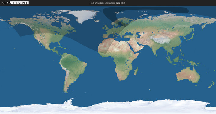
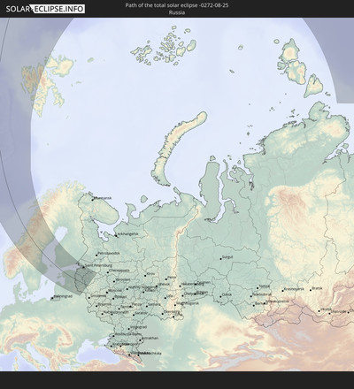
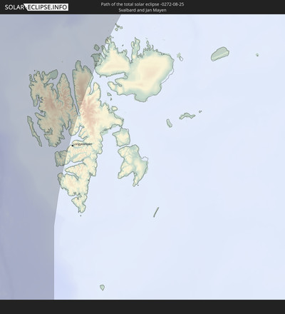
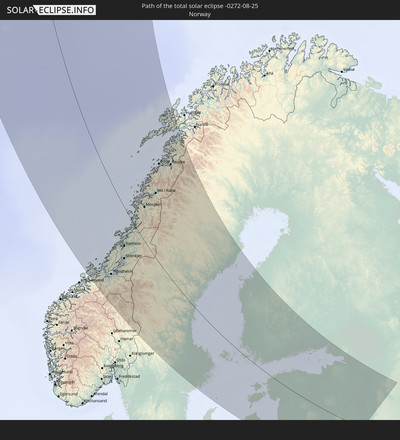
Total solar eclipse of 08/25/-0272
| Day of week: | Monday |
| Maximum duration of eclipse: | 02m25s |
| Maximum width of eclipse path: | 525 km |
| Saros cycle: | 79 |
| Coverage: | 100% |
| Magnitude: | 1.0435 |
| Gamma: | 0.9583 |
Wo kann man die Sonnenfinsternis vom 08/25/-0272 sehen?
Die Sonnenfinsternis am 08/25/-0272 kann man in 58 Ländern als partielle Sonnenfinsternis beobachten.
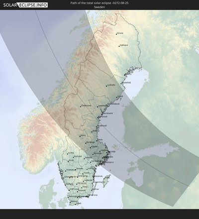
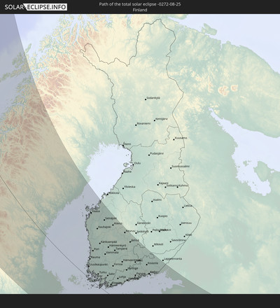
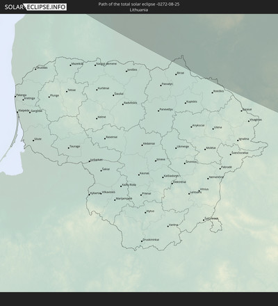
Der Finsternispfad verläuft durch 10 Länder. Nur in diesen Ländern ist sie als total Sonnenfinsternis zu sehen.
In den folgenden Ländern ist die Sonnenfinsternis total zu sehen
In den folgenden Ländern ist die Sonnenfinsternis partiell zu sehen
 Russia
 United States
 Canada
 Greenland
 Saint Pierre and Miquelon
 Portugal
 Cabo Verde
 Iceland
 Spain
Spain
 Senegal
 Mauritania
 The Gambia
 Guinea
 Morocco
 Mali
Mali
 Republic of Ireland
 Svalbard and Jan Mayen
 Algeria
 United Kingdom
 Faroe Islands
 Burkina Faso
 Gibraltar
 France
 Isle of Man
 Ghana
Ghana
 Guernsey
 Jersey
 Andorra
 Belgium
 Netherlands
 Norway
 Luxembourg
 Germany
 Switzerland
 Italy
Italy
 Monaco
 Tunisia
 Denmark
 Liechtenstein
 Austria
 Sweden
 Czechia
 San Marino
 Vatican City
 Slovenia
 Croatia
 Poland
 Bosnia and Herzegovina
 Hungary
 Slovakia
 Serbia
 Åland Islands
 Finland
 Lithuania
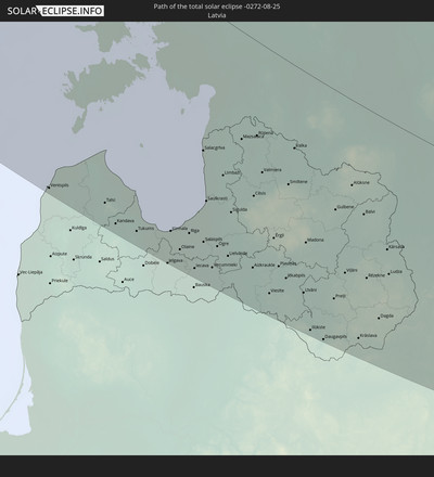
 Latvia
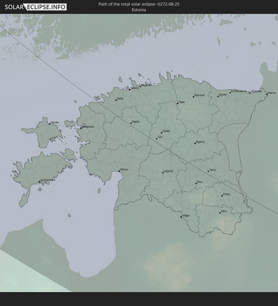
 Estonia
 Ukraine
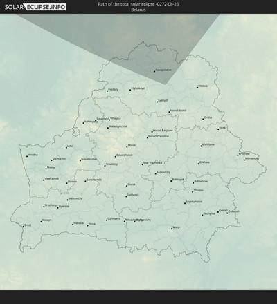
 Belarus
How will be the weather during the total solar eclipse on 08/25/-0272?
Where is the best place to see the total solar eclipse of 08/25/-0272?
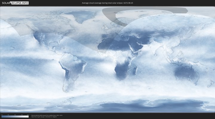
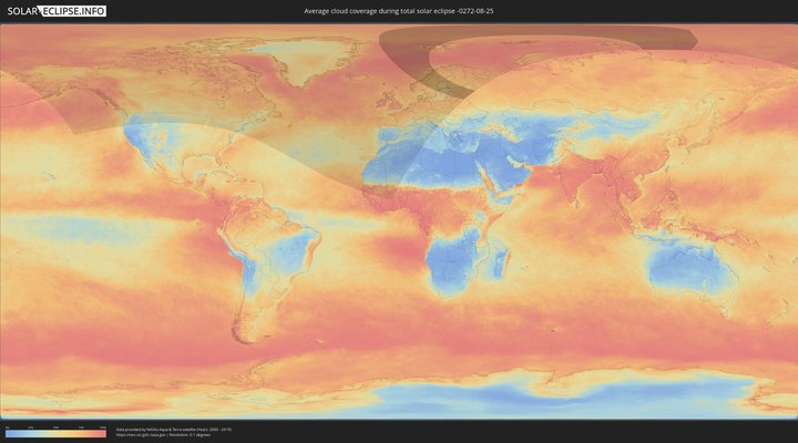
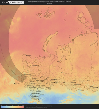
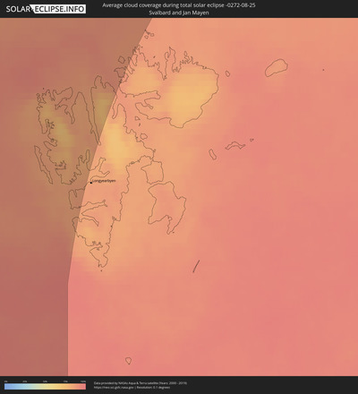
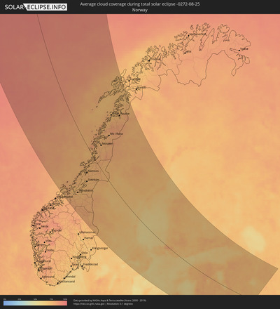
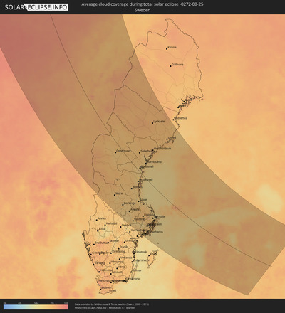
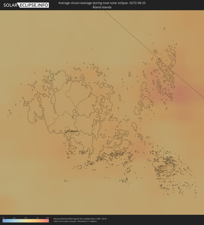
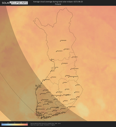
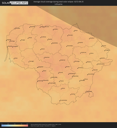
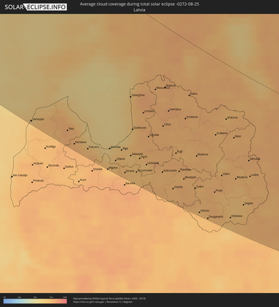
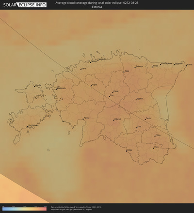
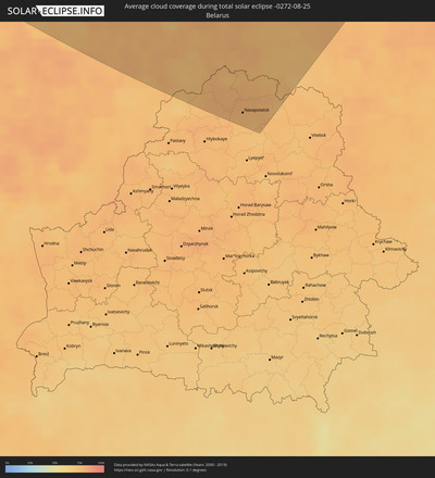
The following maps show the average cloud coverage for the day of the total solar eclipse.
With the help of these maps, it is possible to find the place along the eclipse path, which has the best
chance of a cloudless sky.
Nevertheless, you should consider local circumstances and inform about the weather of your chosen
observation site.
The data is provided by NASAs satellites
AQUA and TERRA.
The cloud maps are averaged over a period of 19 years (2000 - 2019).
Detailed country maps
Cities inside the path of the eclipse
The following table shows all locations with a population of more than 5,000 inside the eclipse path. Cities which have more than 100,000 inhabitants are marked bold. A click at the locations opens a detailed map.
| City | Type | Eclipse duration | Local time of max. eclipse | Distance to central line | Ø Cloud coverage |
 Trondheim, Sør-Trøndelag
|
total | - | 18:06:24 UTC+01:00 | 189 km | 75% |
 Malvik, Sør-Trøndelag
|
total | - | 18:06:24 UTC+01:00 | 177 km | 74% |
 Stjørdalshalsen, Nord-Trøndelag
|
total | - | 18:06:20 UTC+01:00 | 165 km | 73% |
 Levanger, Nord-Trøndelag
|
total | - | 18:05:50 UTC+01:00 | 132 km | 74% |
 Verdal, Nord-Trøndelag
|
total | - | 18:05:45 UTC+01:00 | 122 km | 75% |
 Steinkjer, Nord-Trøndelag
|
total | - | 18:05:21 UTC+01:00 | 107 km | 75% |
 Namsos, Nord-Trøndelag
|
total | - | 18:04:33 UTC+01:00 | 79 km | 76% |
 Sandnessjøen, Nordland
|
total | - | 18:01:44 UTC+01:00 | 55 km | 77% |
 Mosjøen, Nordland
|
total | - | 18:02:04 UTC+01:00 | 68 km | 77% |
 Mo i Rana, Nordland
|
total | - | 18:01:11 UTC+01:00 | 131 km | 77% |
 Bodø, Nordland
|
total | - | 17:59:27 UTC+01:00 | 187 km | 74% |
 Östersund, Jämtland
|
total | - | 18:06:42 UTC+01:00 | 36 km | 69% |
 Ludvika, Dalarna
|
total | - | 18:11:54 UTC+01:00 | 241 km | 66% |
 Fauske, Nordland
|
total | - | 17:59:27 UTC+01:00 | 225 km | 76% |
 Borlänge, Dalarna
|
total | - | 18:11:18 UTC+01:00 | 205 km | 70% |
 Falun, Dalarna
|
total | - | 18:11:05 UTC+01:00 | 188 km | 67% |
 Köping, Västmanland
|
total | - | 18:12:54 UTC+01:00 | 263 km | 72% |
 Avesta, Dalarna
|
total | - | 18:11:49 UTC+01:00 | 205 km | 68% |
 Eskilstuna, Södermanland
|
total | - | 18:13:06 UTC+01:00 | 256 km | 69% |
 Västerås, Västmanland
|
total | - | 18:12:40 UTC+01:00 | 233 km | 62% |
 Sandviken, Gävleborg
|
total | - | 18:10:56 UTC+01:00 | 144 km | 67% |
 Enköping, Uppsala
|
total | - | 18:12:34 UTC+01:00 | 212 km | 66% |
 Hudiksvall, Gävleborg
|
total | - | 18:09:00 UTC+01:00 | 44 km | 68% |
 Gävle, Gävleborg
|
total | - | 18:10:48 UTC+01:00 | 125 km | 68% |
 Sundsvall, Västernorrland
|
total | - | 18:07:50 UTC+01:00 | 13 km | 65% |
 Bålsta, Uppsala
|
total | - | 18:12:37 UTC+01:00 | 201 km | 65% |
 Södertälje, Stockholm
|
total | - | 18:13:14 UTC+01:00 | 229 km | 69% |
 Uppsala, Uppsala
|
total | - | 18:12:07 UTC+01:00 | 173 km | 74% |
 Upplands Väsby, Stockholm
|
total | - | 18:12:39 UTC+01:00 | 191 km | 66% |
 Härnösand, Västernorrland
|
total | - | 18:07:21 UTC+01:00 | 55 km | 66% |
 Nynäshamn, Stockholm
|
total | - | 18:13:41 UTC+01:00 | 243 km | 64% |
 Stockholm, Stockholm
|
total | - | 18:12:56 UTC+01:00 | 201 km | 69% |
 Haninge, Stockholm
|
total | - | 18:13:12 UTC+01:00 | 213 km | 70% |
 Åkersberga, Stockholm
|
total | - | 18:12:40 UTC+01:00 | 180 km | 68% |
 Norrtälje, Stockholm
|
total | - | 18:12:08 UTC+01:00 | 142 km | 69% |
 Örnsköldsvik, Västernorrland
|
total | - | 18:06:08 UTC+01:00 | 132 km | 72% |
 Mariehamn, Mariehamns stad
|
total | - | 18:51:11 UTC+01:39 | 69 km | 74% |
 Umeå, Västerbotten
|
total | - | 18:05:02 UTC+01:00 | 229 km | 72% |
 Rauma, Satakunta
|
total | - | 18:49:13 UTC+01:39 | 74 km | 71% |
 Ventspils, Ventspils
|
total | - | 18:52:04 UTC+01:36 | 252 km | 70% |
 Vaasa, Ostrobothnia
|
total | - | 18:45:54 UTC+01:39 | 231 km | 71% |
 Pori, Satakunta
|
total | - | 18:48:35 UTC+01:39 | 113 km | 74% |
 Turku, Southwest Finland
|
total | - | 18:50:12 UTC+01:39 | 45 km | 73% |
 Kuressaare, Saare
|
total | - | 18:52:55 UTC+01:39 | 142 km | 67% |
 Talsi, Talsu Rajons
|
total | - | 18:52:05 UTC+01:36 | 233 km | 77% |
 Kärdla, Hiiumaa
|
total | - | 18:51:39 UTC+01:39 | 66 km | 66% |
 Seinäjoki, Southern Ostrobothnia
|
total | - | 18:46:13 UTC+01:39 | 254 km | 75% |
 Salo, Southwest Finland
|
total | - | 18:50:09 UTC+01:39 | 70 km | 74% |
 Tukums, Tukuma Rajons
|
total | - | 18:52:23 UTC+01:36 | 241 km | 72% |
 Nokia, Pirkanmaa
|
total | - | 18:48:18 UTC+01:39 | 174 km | 71% |
 Haapsalu, Lääne
|
total | - | 18:51:35 UTC+01:39 | 44 km | 66% |
 Jelgava, Jelgava
|
total | - | 18:52:45 UTC+01:36 | 254 km | 73% |
 Jūrmala, Jūrmala
|
total | - | 18:52:14 UTC+01:36 | 221 km | 64% |
 Tampere, Pirkanmaa
|
total | - | 18:48:11 UTC+01:39 | 187 km | 71% |
 Olaine, Olaine
|
total | - | 18:52:29 UTC+01:36 | 234 km | 72% |
 Valkeakoski, Pirkanmaa
|
total | - | 18:48:31 UTC+01:39 | 176 km | 70% |
 Lohja, Uusimaa
|
total | - | 18:50:10 UTC+01:39 | 90 km | 72% |
 Kangasala, Pirkanmaa
|
total | - | 18:48:11 UTC+01:39 | 194 km | 71% |
 Riga, Riga
|
total | - | 18:52:11 UTC+01:36 | 213 km | 72% |
 Vihti, Uusimaa
|
total | - | 18:49:51 UTC+01:39 | 113 km | 71% |
 Salaspils, Salaspils
|
total | - | 18:52:15 UTC+01:36 | 213 km | 70% |
 Keila, Harjumaa
|
total | - | 18:50:48 UTC+01:39 | 17 km | 72% |
 Hämeenlinna, Häme
|
total | - | 18:48:52 UTC+01:39 | 168 km | 70% |
 Pärnu, Pärnumaa
|
total | - | 18:52:15 UTC+01:39 | 65 km | 69% |
 Saue, Harjumaa
|
total | - | 18:50:45 UTC+01:39 | 23 km | 74% |
 Ogre, Ogre
|
total | - | 18:52:15 UTC+01:36 | 210 km | 71% |
 Espoo, Uusimaa
|
total | - | 18:50:07 UTC+01:39 | 106 km | 74% |
 Limbaži, Limbažu Rajons
|
total | - | 18:51:08 UTC+01:36 | 140 km | 75% |
 Tallinn, Harjumaa
|
total | - | 18:50:31 UTC+01:39 | 40 km | 72% |
 Rapla, Raplamaa
|
total | - | 18:51:11 UTC+01:39 | 2 km | 76% |
 Nurmijärvi, Uusimaa
|
total | - | 18:49:40 UTC+01:39 | 134 km | 74% |
 Sigulda, Sigulda
|
total | - | 18:51:40 UTC+01:36 | 170 km | 77% |
 Hyvinge, Uusimaa
|
total | - | 18:49:23 UTC+01:39 | 151 km | 75% |
 Helsinki, Uusimaa
|
total | - | 18:50:07 UTC+01:39 | 112 km | 73% |
 Maardu, Harjumaa
|
total | - | 18:50:23 UTC+01:39 | 53 km | 69% |
 Vantaa, Uusimaa
|
total | - | 18:49:53 UTC+01:39 | 127 km | 74% |
 Järvenpää, Uusimaa
|
total | - | 18:49:35 UTC+01:39 | 144 km | 75% |
 Aizkraukle, Aizkraukles Rajons
|
total | - | 18:52:25 UTC+01:36 | 211 km | 75% |
 Cēsis, Cēsu Rajons
|
total | - | 18:51:19 UTC+01:36 | 142 km | 76% |
 Valmiera, Valmieras Rajons
|
total | - | 18:50:55 UTC+01:36 | 116 km | 78% |
 Türi, Järvamaa
|
total | - | 18:51:21 UTC+01:39 | 4 km | 78% |
 Paide, Järvamaa
|
total | - | 18:51:12 UTC+01:39 | 16 km | 77% |
 Viljandi, Viljandimaa
|
total | - | 18:52:01 UTC+01:39 | 32 km | 80% |
 Lahti, Päijänne Tavastia
|
total | - | 18:48:38 UTC+01:39 | 208 km | 74% |
 Porvoo, Uusimaa
|
total | - | 18:49:35 UTC+01:39 | 156 km | 73% |
 Jēkabpils, Jēkabpils Municipality
|
total | - | 18:52:25 UTC+01:36 | 204 km | 76% |
 Tapa, Lääne-Virumaa
|
total | - | 18:50:30 UTC+01:39 | 63 km | 78% |
 Valka, Valkas Rajons
|
total | - | 18:50:24 UTC+01:36 | 76 km | 77% |
 Heinola, Päijänne Tavastia
|
total | - | 18:48:12 UTC+01:39 | 240 km | 70% |
 Valga, Valgamaa
|
total | - | 18:52:49 UTC+01:39 | 74 km | 77% |
 Līvāni, Līvāni
|
total | - | 18:52:33 UTC+01:36 | 209 km | 75% |
 Madona, Madonas Rajons
|
total | - | 18:51:46 UTC+01:36 | 159 km | 75% |
 Rakvere, Lääne-Virumaa
|
total | - | 18:50:16 UTC+01:39 | 84 km | 78% |
 Jõgeva, Jõgevamaa
|
total | - | 18:51:12 UTC+01:39 | 29 km | 77% |
 Elva, Tartu
|
total | - | 18:52:01 UTC+01:39 | 20 km | 77% |
 Daugavpils, Daugavpils municipality
|
total | - | 18:53:10 UTC+01:36 | 246 km | 73% |
 Kouvola, Kymenlaakso
|
total | - | 18:48:35 UTC+01:39 | 233 km | 77% |
 Preiļi, Preiļu Rajons
|
total | - | 18:52:29 UTC+01:36 | 199 km | 76% |
 Tartu, Tartu
|
total | - | 18:51:41 UTC+01:39 | 4 km | 77% |
 Gulbene, Gulbenes Rajons
|
total | - | 18:51:07 UTC+01:36 | 112 km | 75% |
 Kotka, Kymenlaakso
|
total | - | 18:49:10 UTC+01:39 | 204 km | 76% |
 Kiviõli, Ida-Virumaa
|
total | - | 18:50:06 UTC+01:39 | 103 km | 75% |
 Võru, Võrumaa
|
total | - | 18:52:28 UTC+01:39 | 40 km | 77% |
 Põlva, Põlvamaa
|
total | - | 18:52:06 UTC+01:39 | 17 km | 78% |
 Krāslava, Krāslavas Rajons
|
total | - | 18:52:57 UTC+01:36 | 227 km | 73% |
 Hamina, Kymenlaakso
|
total | - | 18:48:56 UTC+01:39 | 222 km | 75% |
 Balvi, Balvu Rajons
|
total | - | 18:51:02 UTC+01:36 | 101 km | 75% |
 Kohtla-Järve, Ida-Virumaa
|
total | - | 18:49:57 UTC+01:39 | 117 km | 74% |
 Rēzekne, Rēzekne
|
total | - | 18:52:00 UTC+01:36 | 162 km | 74% |
 Jõhvi, Ida-Virumaa
|
total | - | 18:49:59 UTC+01:39 | 118 km | 74% |
 Myory, Vitebsk
|
total | - | 19:06:40 UTC+01:50 | 242 km | 73% |
 Ludza, Ludzas Rajons
|
total | - | 18:51:49 UTC+01:36 | 147 km | 75% |
 Sillamäe, Ida-Virumaa
|
total | - | 18:49:50 UTC+01:39 | 132 km | 72% |
 Vyerkhnyadzvinsk, Vitebsk
|
total | - | 19:06:20 UTC+01:50 | 218 km | 77% |
 Slantsy, Leningradskaya Oblast'
|
total | - | 19:41:27 UTC+02:30 | 115 km | 75% |
 Narva, Ida-Virumaa
|
total | - | 18:49:45 UTC+01:39 | 142 km | 71% |
 Pskov, Pskov
|
total | - | 19:43:24 UTC+02:30 | 4 km | 74% |
 Ostrov, Pskov
|
total | - | 19:44:07 UTC+02:30 | 50 km | 78% |
 Navapolatsk, Vitebsk
|
total | - | 19:06:29 UTC+01:50 | 225 km | 76% |
 Kingisepp, Leningradskaya Oblast'
|
total | - | 19:40:55 UTC+02:30 | 155 km | 78% |
 Vyborg, Leningradskaya Oblast'
|
total | - | 19:38:48 UTC+02:30 | 284 km | 75% |
 Polatsk, Vitebsk
|
total | - | 19:06:29 UTC+01:50 | 225 km | 75% |
 Rasony, Vitebsk
|
total | - | 19:05:51 UTC+01:50 | 182 km | 76% |
 Sosnovyy Bor, Leningradskaya Oblast'
|
total | - | 19:39:58 UTC+02:30 | 218 km | 71% |
 Luga, Leningradskaya Oblast'
|
total | - | 19:41:32 UTC+02:30 | 128 km | 75% |
 Peterhof, St.-Petersburg
|
total | - | 19:39:46 UTC+02:30 | 241 km | 73% |
 Kurortnyy, Leningradskaya Oblast'
|
total | - | 19:39:20 UTC+02:30 | 268 km | 70% |
 Nevel’, Pskov
|
total | - | 19:45:36 UTC+02:30 | 142 km | 69% |
 Krasnoye Selo, St.-Petersburg
|
total | - | 19:39:56 UTC+02:30 | 232 km | 76% |
 Gatchina, Leningradskaya Oblast'
|
total | - | 19:40:10 UTC+02:30 | 218 km | 76% |
 Sertolovo, Leningradskaya Oblast'
|
total | - | 19:39:17 UTC+02:30 | 274 km | 72% |
 Saint Petersburg, St.-Petersburg
|
total | - | 19:39:34 UTC+02:30 | 258 km | 75% |
 Kommunar, Leningradskaya Oblast'
|
total | - | 19:40:02 UTC+02:30 | 229 km | 77% |
 Kolpino, St.-Petersburg
|
total | - | 19:39:46 UTC+02:30 | 247 km | 76% |
 Vsevolozhsk, Leningradskaya Oblast'
|
total | - | 19:39:21 UTC+02:30 | 275 km | 73% |
 Tosno, Leningradskaya Oblast'
|
total | - | 19:40:00 UTC+02:30 | 235 km | 76% |
 Kirovsk, Leningradskaya Oblast'
|
total | - | 19:39:27 UTC+02:30 | 271 km | 72% |
 Velikiy Novgorod, Novgorod
|
total | - | 19:41:26 UTC+02:30 | 145 km | 69% |
 Staraya Russa, Novgorod
|
total | - | 19:42:11 UTC+02:30 | 94 km | 73% |
 Chudovo, Novgorod
|
total | - | 19:40:24 UTC+02:30 | 215 km | 74% |
 Kirishi, Leningradskaya Oblast'
|
total | - | 19:39:48 UTC+02:30 | 256 km | 74% |
 Malaya Vishera, Novgorod
|
total | - | 19:40:38 UTC+02:30 | 201 km | 76% |
 Okulovka, Novgorod
|
total | - | 19:40:57 UTC+02:30 | 184 km | 73% |
