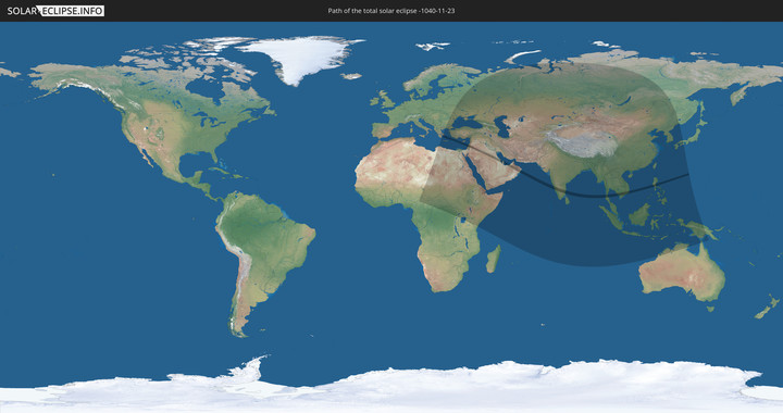
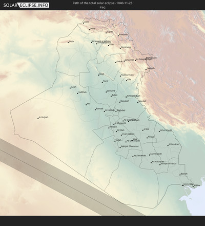
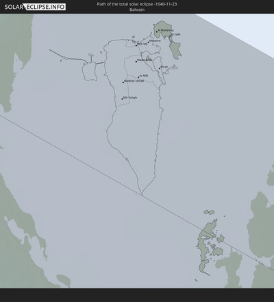
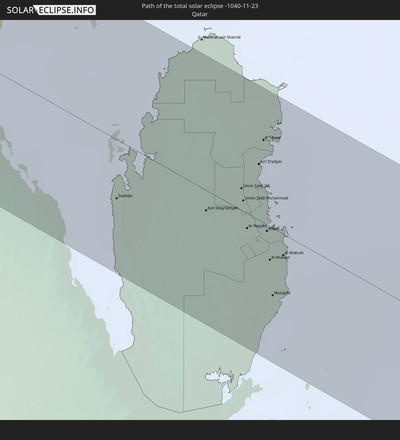
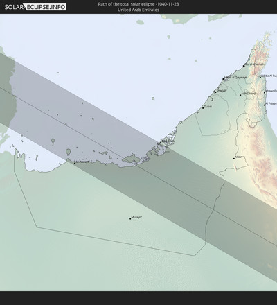
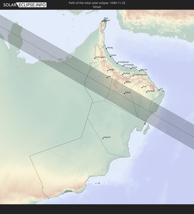
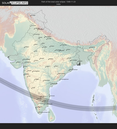
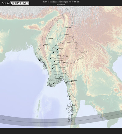
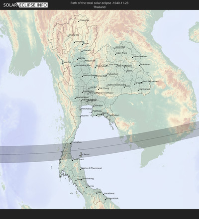
Total solar eclipse of 11/23/-1040
| Day of week: | Friday |
| Maximum duration of eclipse: | 03m45s |
| Maximum width of eclipse path: | 151 km |
| Saros cycle: | 45 |
| Coverage: | 100% |
| Magnitude: | 1.039 |
| Gamma: | 0.5062 |
Wo kann man die Sonnenfinsternis vom 11/23/-1040 sehen?
Die Sonnenfinsternis am 11/23/-1040 kann man in 82 Ländern als partielle Sonnenfinsternis beobachten.
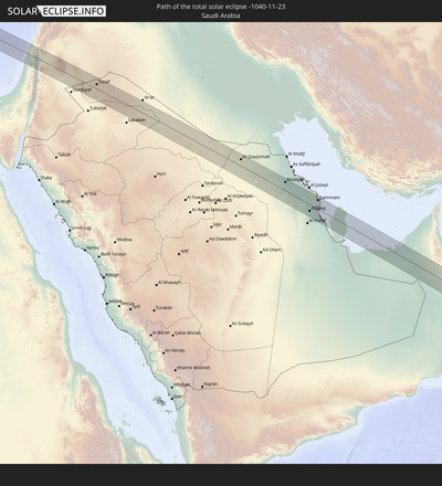
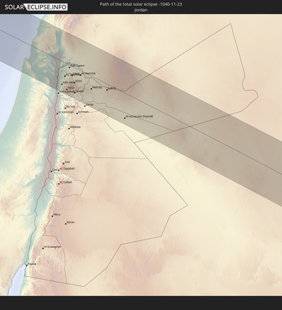
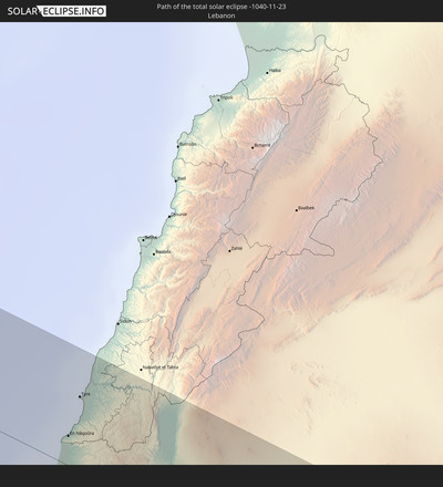
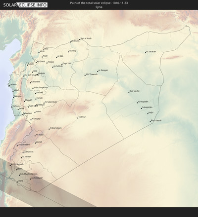
Der Finsternispfad verläuft durch 18 Länder. Nur in diesen Ländern ist sie als total Sonnenfinsternis zu sehen.
In den folgenden Ländern ist die Sonnenfinsternis total zu sehen
In den folgenden Ländern ist die Sonnenfinsternis partiell zu sehen
 Russia
 Nigeria
 Cameroon
 Libya
Libya
 Democratic Republic of the Congo
 Chad
Chad
 Central African Republic
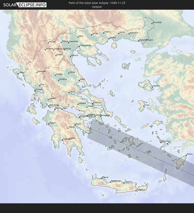
 Greece
 Romania
 Sudan
Sudan
 Ukraine
 Bulgaria
 Belarus
 Egypt
Egypt
 Turkey
 Moldova
 Tanzania
 Uganda
 Cyprus
 Ethiopia
 Kenya
Kenya
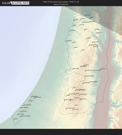
 State of Palestine
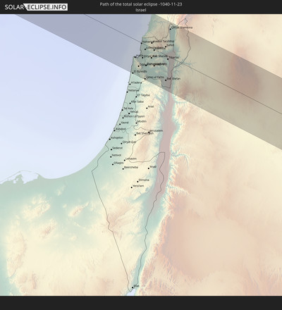
 Israel
 Saudi Arabia
 Jordan
 Lebanon
 Syria
Syria
 Eritrea
 Iraq
Iraq
 Georgia
 Somalia
 Djibouti
 Yemen
Yemen
 Armenia
 Iran
Iran
 Azerbaijan
 Seychelles
 Kazakhstan
 Kuwait
 Bahrain
 Qatar
Qatar
 United Arab Emirates
 Oman
Oman
 Turkmenistan
 Uzbekistan
 Mauritius
 Afghanistan
 Pakistan
 Tajikistan
 India
India
 Kyrgyzstan
 British Indian Ocean Territory
 Maldives
 China
China
 Sri Lanka
 Nepal
Nepal
 Mongolia
 Bangladesh
 Bhutan
 Myanmar
 Indonesia
 Cocos Islands
 Thailand
 Malaysia
 Laos
Laos
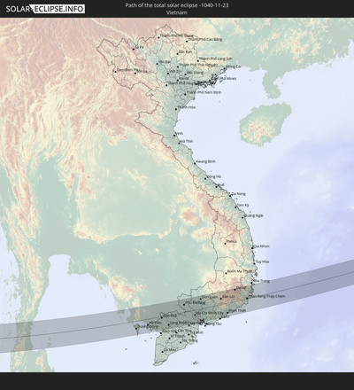
 Vietnam
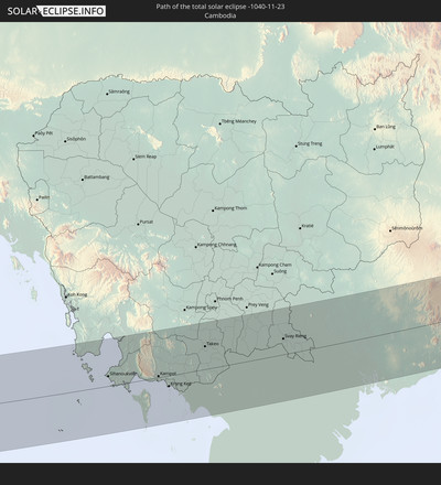
 Cambodia
 Singapore
 Christmas Island
 Australia
 Macau
Macau
 Hong Kong
 Brunei
 Taiwan
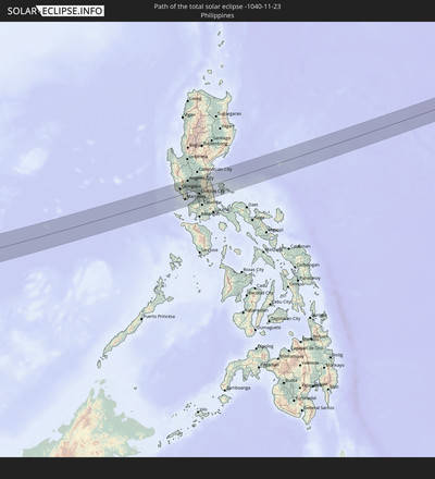
 Philippines
 Japan
Japan
 East Timor
 North Korea
 South Korea
 Palau
Palau
 Federated States of Micronesia
 Papua New Guinea
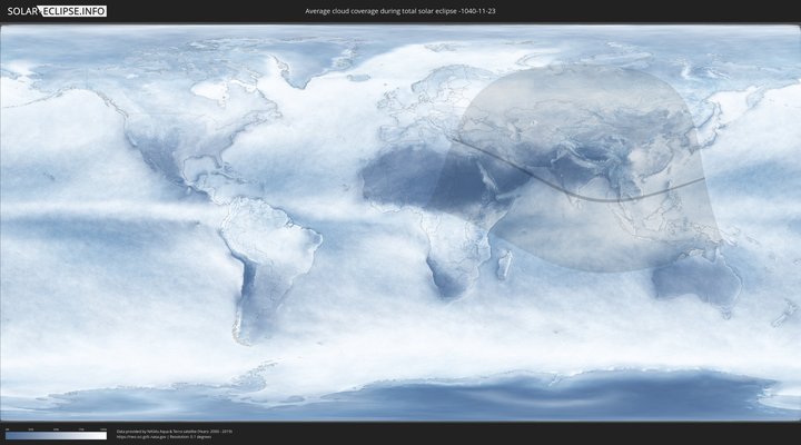
How will be the weather during the total solar eclipse on 11/23/-1040?
Where is the best place to see the total solar eclipse of 11/23/-1040?
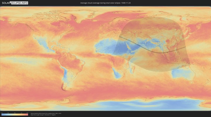
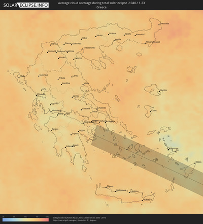
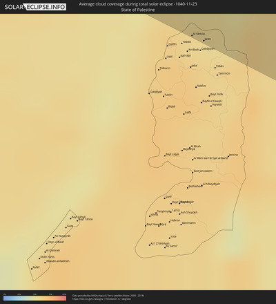
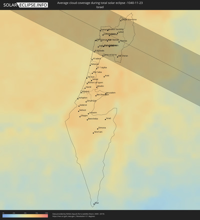
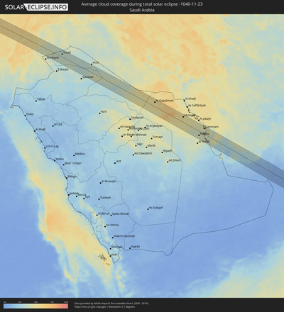
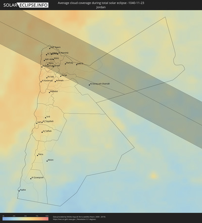
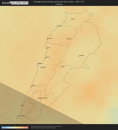
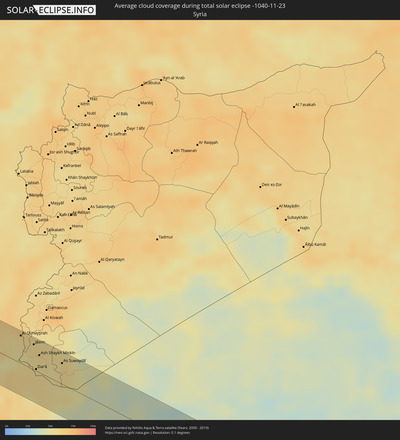
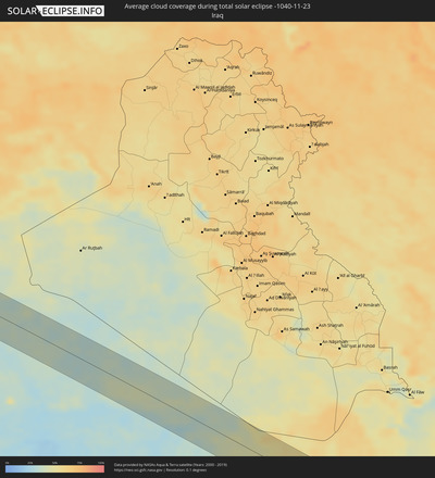
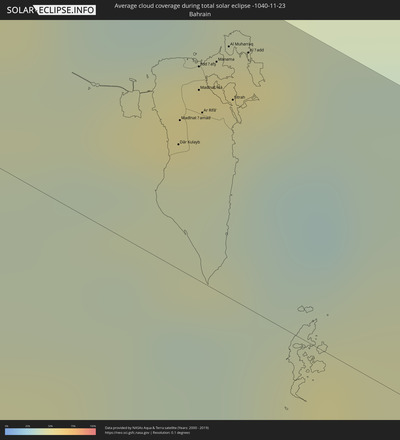
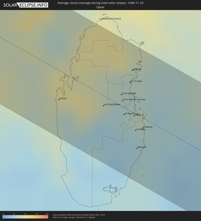
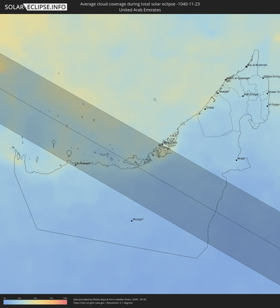
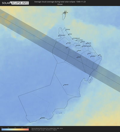
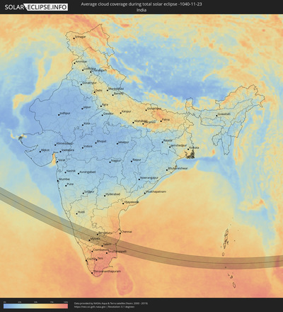
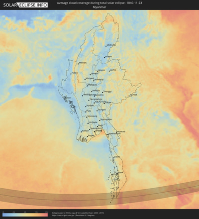
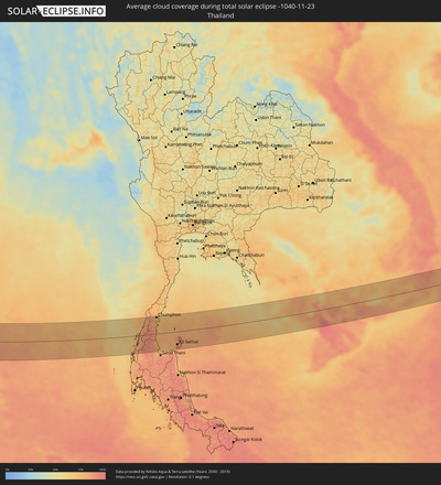
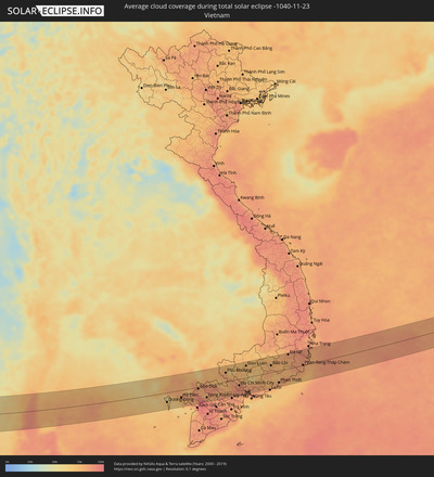
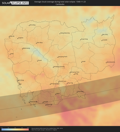
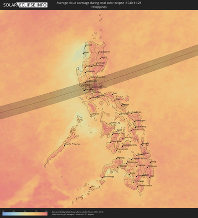
The following maps show the average cloud coverage for the day of the total solar eclipse.
With the help of these maps, it is possible to find the place along the eclipse path, which has the best
chance of a cloudless sky.
Nevertheless, you should consider local circumstances and inform about the weather of your chosen
observation site.
The data is provided by NASAs satellites
AQUA and TERRA.
The cloud maps are averaged over a period of 19 years (2000 - 2019).
Detailed country maps
Cities inside the path of the eclipse
The following table shows all locations with a population of more than 5,000 inside the eclipse path. Cities which have more than 100,000 inhabitants are marked bold. A click at the locations opens a detailed map.
| City | Type | Eclipse duration | Local time of max. eclipse | Distance to central line | Ø Cloud coverage |
 Anávyssos, Attica
|
total | - | 06:52:40 UTC+01:34 | 40 km | 62% |
 Lávrio, Attica
|
total | - | 06:52:41 UTC+01:34 | 42 km | 61% |
 Páros, South Aegean
|
total | - | 06:52:33 UTC+01:34 | 18 km | 68% |
 Náxos, South Aegean
|
total | - | 06:52:38 UTC+01:34 | 28 km | 64% |
 Archángelos, South Aegean
|
total | - | 06:52:58 UTC+01:34 | 41 km | 56% |
 El Fureidīs, Haifa
|
total | - | 07:40:04 UTC+02:20 | 48 km | 60% |
 Haifa, Haifa
|
total | - | 07:40:12 UTC+02:20 | 25 km | 56% |
 Nahariya, Northern District
|
total | - | 07:40:22 UTC+02:20 | 1 km | 55% |
 Rekhasim, Haifa
|
total | - | 07:40:14 UTC+02:20 | 27 km | 58% |
 En Nâqoûra, South Governorate
|
total | - | 07:19:46 UTC+02:00 | 12 km | 55% |
 Umm el Faḥm, Haifa
|
total | - | 07:40:10 UTC+02:20 | 48 km | 64% |
 Kafir Yasif, Northern District
|
total | - | 07:40:22 UTC+02:20 | 4 km | 60% |
 Tyre, South Governorate
|
total | - | 07:19:53 UTC+02:00 | 29 km | 54% |
 Sīlat al Ḩārithīyah, West Bank
|
total | - | 07:19:32 UTC+02:00 | 45 km | 64% |
 Al Yāmūn, West Bank
|
total | - | 07:19:31 UTC+02:00 | 48 km | 64% |
 Janīn, West Bank
|
total | - | 07:19:33 UTC+02:00 | 47 km | 60% |
 Nazareth, Northern District
|
total | - | 07:40:20 UTC+02:20 | 23 km | 56% |
 Karmi’el, Northern District
|
total | - | 07:40:27 UTC+02:20 | 1 km | 59% |
 Dayr Abū Ḑa‘īf, West Bank
|
total | - | 07:19:35 UTC+02:00 | 45 km | 59% |
 Deir Ḥannā, Northern District
|
total | - | 07:40:27 UTC+02:20 | 4 km | 58% |
 Safed, Northern District
|
total | - | 07:40:35 UTC+02:20 | 11 km | 60% |
 Bet She’an, Northern District
|
total | - | 07:40:22 UTC+02:20 | 35 km | 62% |
 Tiberias, Northern District
|
total | - | 07:40:31 UTC+02:20 | 4 km | 50% |
 Qiryat Shemona, Northern District
|
total | - | 07:40:45 UTC+02:20 | 39 km | 54% |
 Waqqāş, Irbid
|
total | - | 07:43:31 UTC+02:23 | 26 km | 62% |
 Ḩalāwah, Ajlun
|
total | - | 07:43:29 UTC+02:23 | 39 km | 58% |
 Şammā, Irbid
|
total | - | 07:43:35 UTC+02:23 | 20 km | 59% |
 ‘Ajlūn, Ajlun
|
total | - | 07:43:31 UTC+02:23 | 41 km | 61% |
 Saḩam al Kaffārāt, Irbid
|
total | - | 07:43:42 UTC+02:23 | 3 km | 58% |
 Ḩātim, Irbid
|
total | - | 07:43:40 UTC+02:23 | 9 km | 59% |
 Al Qunayţirah, Quneitra
|
total | - | 07:45:24 UTC+02:25 | 41 km | 55% |
 Raymūn, Jerash
|
total | - | 07:43:32 UTC+02:23 | 43 km | 61% |
 Al Kittah, Jerash
|
total | - | 07:43:33 UTC+02:23 | 42 km | 61% |
 Irbid, Irbid
|
total | - | 07:43:41 UTC+02:23 | 14 km | 58% |
 Kharjā, Irbid
|
total | - | 07:43:45 UTC+02:23 | 3 km | 57% |
 Aţ Ţurrah, Irbid
|
total | - | 07:43:48 UTC+02:23 | 0 km | 58% |
 Jāsim, Daraa
|
total | - | 07:45:29 UTC+02:25 | 38 km | 58% |
 Ţafas, Daraa
|
total | - | 07:45:22 UTC+02:25 | 13 km | 56% |
 Dar‘ā, Daraa
|
total | - | 07:45:20 UTC+02:25 | 3 km | 58% |
 Inkhil, Daraa
|
total | - | 07:45:33 UTC+02:25 | 43 km | 58% |
 Ash Shaykh Miskīn, Daraa
|
total | - | 07:45:28 UTC+02:25 | 26 km | 54% |
 Mafraq, Mafraq
|
total | - | 07:43:49 UTC+02:23 | 20 km | 57% |
 Izra‘, Daraa
|
total | - | 07:45:33 UTC+02:25 | 34 km | 57% |
 Al Ḩarāk, Daraa
|
total | - | 07:45:32 UTC+02:25 | 24 km | 55% |
 As Suwaydā’, As-Suwayda
|
total | - | 07:45:41 UTC+02:25 | 31 km | 58% |
 Şalākhid, As-Suwayda
|
total | - | 07:45:46 UTC+02:25 | 48 km | 56% |
 Shahbā, As-Suwayda
|
total | - | 07:45:48 UTC+02:25 | 48 km | 56% |
 Al Azraq ash Shamālī, Zarqa
|
total | - | 07:44:01 UTC+02:23 | 40 km | 42% |
 Turaif, Northern Borders
|
total | - | 08:28:22 UTC+03:06 | 19 km | 35% |
 Al Qayşūmah, Eastern Province
|
total | - | 08:34:02 UTC+03:06 | 30 km | 50% |
 Abqaiq, Eastern Province
|
total | - | 08:37:50 UTC+03:06 | 30 km | 41% |
 Umm as Sāhik, Eastern Province
|
total | - | 08:38:12 UTC+03:06 | 51 km | 48% |
 Al Awjām, Eastern Province
|
total | - | 08:38:14 UTC+03:06 | 44 km | 47% |
 Şafwá, Eastern Province
|
total | - | 08:38:15 UTC+03:06 | 53 km | 54% |
 At Tūbī, Eastern Province
|
total | - | 08:38:17 UTC+03:06 | 46 km | 54% |
 Al Qaţīf, Eastern Province
|
total | - | 08:38:20 UTC+03:06 | 44 km | 50% |
 Tārūt, Eastern Province
|
total | - | 08:38:21 UTC+03:06 | 49 km | 54% |
 Sayhāt, Eastern Province
|
total | - | 08:38:21 UTC+03:06 | 41 km | 50% |
 Dammam, Eastern Province
|
total | - | 08:38:25 UTC+03:06 | 39 km | 44% |
 Dhahran, Eastern Province
|
total | - | 08:38:25 UTC+03:06 | 25 km | 43% |
 Khobar, Eastern Province
|
total | - | 08:38:32 UTC+03:06 | 29 km | 41% |
 Dār Kulayb, Southern Governorate
|
total | - | 08:58:10 UTC+03:26 | 23 km | 43% |
 Madīnat Ḩamad, Central Governorate
|
total | - | 08:58:11 UTC+03:26 | 28 km | 43% |
 Madīnat ‘Īsá, Southern Governorate
|
total | - | 08:58:14 UTC+03:26 | 36 km | 51% |
 Jidd Ḩafş, Manama
|
total | - | 08:58:15 UTC+03:26 | 40 km | 51% |
 Ar Rifā‘, Southern Governorate
|
total | - | 08:58:15 UTC+03:26 | 32 km | 41% |
 Manama, Manama
|
total | - | 08:58:18 UTC+03:26 | 43 km | 46% |
 Al Muharraq, Muharraq
|
total | - | 08:58:20 UTC+03:26 | 47 km | 53% |
 Sitrah, Manama
|
total | - | 08:58:20 UTC+03:26 | 37 km | 46% |
 Al Ḩadd, Muharraq
|
total | - | 08:58:23 UTC+03:26 | 48 km | 41% |
 Dukhān, Baladīyat ar Rayyān
|
total | - | 08:58:30 UTC+03:26 | 25 km | 34% |
 Ash Shayḩānīyah, Baladīyat ar Rayyān
|
total | - | 08:59:05 UTC+03:26 | 9 km | 29% |
 Umm Şalāl ‘Alī, Baladīyat Umm Şalāl
|
total | - | 08:59:20 UTC+03:26 | 9 km | 30% |
 Umm Şalāl Muḩammad, Baladīyat Umm Şalāl
|
total | - | 08:59:20 UTC+03:26 | 5 km | 29% |
 Ar Rayyān, Baladīyat ar Rayyān
|
total | - | 08:59:22 UTC+03:26 | 6 km | 28% |
 Az̧ Z̧a‘āyin, Baladīyat az̧ Z̧a‘āyin
|
total | - | 08:59:27 UTC+03:26 | 24 km | 33% |
 Al Khawr, Al Khawr
|
total | - | 08:59:29 UTC+03:26 | 36 km | 34% |
 Doha, Baladīyat ad Dawḩah
|
total | - | 08:59:29 UTC+03:26 | 3 km | 31% |
 Al Wukayr, Al Wakrah
|
total | - | 08:59:30 UTC+03:26 | 14 km | 26% |
 Musay‘īd, Al Wakrah
|
total | - | 08:59:31 UTC+03:26 | 29 km | 28% |
 Al Wakrah, Al Wakrah
|
total | - | 08:59:36 UTC+03:26 | 9 km | 28% |
 Ar Ruways, Abu Dhabi
|
total | - | 09:16:15 UTC+03:41 | 56 km | 20% |
 ‘Ibrī, Az̧ Z̧āhirah
|
total | - | 09:22:11 UTC+03:41 | 51 km | 4% |
 Ādam, Muḩāfaz̧at ad Dākhilīyah
|
total | - | 09:24:02 UTC+03:41 | 20 km | 4% |
 Udipi, Karnataka
|
total | - | 11:47:59 UTC+05:21 | 25 km | 46% |
 Mangalore, Karnataka
|
total | - | 11:48:36 UTC+05:21 | 64 km | 52% |
 Shimoga, Karnataka
|
total | - | 11:49:53 UTC+05:21 | 70 km | 48% |
 Bhadrāvati, Karnataka
|
total | - | 11:50:20 UTC+05:21 | 67 km | 50% |
 Mysore, Karnataka
|
total | - | 11:54:12 UTC+05:21 | 56 km | 65% |
 Mandya, Karnataka
|
total | - | 11:54:47 UTC+05:21 | 23 km | 65% |
 Tumkūr, Karnataka
|
total | - | 11:54:46 UTC+05:21 | 70 km | 57% |
 Bengaluru, Karnataka
|
total | - | 11:56:29 UTC+05:21 | 51 km | 59% |
 Salem, Tamil Nadu
|
total | - | 11:59:11 UTC+05:21 | 67 km | 76% |
 Robertsonpet, Karnataka
|
total | - | 11:58:31 UTC+05:21 | 74 km | 65% |
 Tiruvannāmalai, Tamil Nadu
|
total | - | 12:01:28 UTC+05:21 | 26 km | 75% |
 Cuddalore, Tamil Nadu
|
total | - | 12:03:54 UTC+05:21 | 2 km | 77% |
 Puducherry, Pondicherry
|
total | - | 12:03:57 UTC+05:21 | 21 km | 75% |
 Ranong, Ranong
|
total | - | 14:19:35 UTC+06:42 | 12 km | 78% |
 Ban Nam Yuen, Chumphon
|
total | - | 14:20:11 UTC+06:42 | 0 km | 89% |
 Lang Suan, Chumphon
|
total | - | 14:20:38 UTC+06:42 | 5 km | 83% |
 Chumphon, Chumphon
|
total | - | 14:20:32 UTC+06:42 | 65 km | 75% |
 Chaiya, Surat Thani
|
total | - | 14:21:15 UTC+06:42 | 58 km | 80% |
 Ko Samui, Surat Thani
|
total | - | 14:22:51 UTC+06:42 | 50 km | 86% |
 Ko Pha Ngan, Nakhon Si Thammarat
|
total | - | 14:22:55 UTC+06:42 | 27 km | 87% |
 Sihanoukville, Preah Sihanouk
|
total | - | 14:29:55 UTC+06:42 | 14 km | 71% |
 Kampot, Kampot
|
total | - | 14:31:13 UTC+06:42 | 2 km | 76% |
 Krong Kep, Kep
|
total | - | 14:31:33 UTC+06:42 | 15 km | 74% |
 Phumĭ Véal Srê, Takeo
|
total | - | 14:32:10 UTC+06:42 | 31 km | 75% |
 Takeo, Takeo
|
total | - | 14:32:10 UTC+06:42 | 32 km | 75% |
 Cho Dok, An Giang
|
total | - | 14:57:34 UTC+07:06 | 6 km | 87% |
 Long Xuyên, An Giang
|
total | - | 14:58:21 UTC+07:06 | 47 km | 93% |
 Svay Rieng, Svay Rieng
|
total | - | 14:34:02 UTC+06:42 | 22 km | 75% |
 Tân An, Long An
|
total | - | 15:00:04 UTC+07:06 | 51 km | 89% |
 Củ Chi, Ho Chi Minh City
|
total | - | 14:59:58 UTC+07:06 | 5 km | 85% |
 Ho Chi Minh City, Ho Chi Minh City
|
total | - | 15:00:17 UTC+07:06 | 25 km | 91% |
 Thủ Dầu Một, Bình Dương
|
total | - | 15:00:15 UTC+07:06 | 8 km | 86% |
 Cần Giuộc, Long An
|
total | - | 15:00:29 UTC+07:06 | 49 km | 84% |
 Biên Hòa, Đồng Nai
|
total | - | 15:00:34 UTC+07:06 | 16 km | 86% |
 Bảo Lộc, Lâm Đồng
|
total | - | 15:01:57 UTC+07:06 | 28 km | 79% |
 Phan Thiết, Bình Thuận
|
total | - | 15:02:48 UTC+07:06 | 47 km | 72% |
 Ðà Lạt, Lâm Đồng
|
total | - | 15:02:48 UTC+07:06 | 56 km | 79% |
 Phan Rang-Tháp Chàm, Ninh Thuận
|
total | - | 15:03:55 UTC+07:06 | 1 km | 80% |
 Cam Ranh, Khánh Hòa
|
total | - | 15:04:00 UTC+07:06 | 36 km | 83% |
 Olongapo, Central Luzon
|
total | - | 16:09:47 UTC+08:00 | 25 km | 59% |
 Mariveles, Central Luzon
|
total | - | 16:10:13 UTC+08:00 | 24 km | 60% |
 Angeles City, Central Luzon
|
total | - | 16:09:52 UTC+08:00 | 49 km | 81% |
 San Fernando, Central Luzon
|
total | - | 16:10:03 UTC+08:00 | 33 km | 75% |
 Arayat, Central Luzon
|
total | - | 16:10:03 UTC+08:00 | 43 km | 74% |
 Malolos, Central Luzon
|
total | - | 16:10:16 UTC+08:00 | 9 km | 79% |
 Baliuag, Central Luzon
|
total | - | 16:10:17 UTC+08:00 | 18 km | 82% |
 Cavite City, Calabarzon
|
total | - | 16:10:34 UTC+08:00 | 32 km | 82% |
 Dasmariñas, Calabarzon
|
total | - | 16:10:41 UTC+08:00 | 50 km | 82% |
 San Jose del Monte, Central Luzon
|
total | - | 16:10:30 UTC+08:00 | 2 km | 86% |
 Quezon City, Metro Manila
|
total | - | 16:10:36 UTC+08:00 | 19 km | 81% |
 Binangonan, Calabarzon
|
total | - | 16:10:50 UTC+08:00 | 44 km | 65% |
 Rodriguez, Calabarzon
|
total | - | 16:10:40 UTC+08:00 | 12 km | 82% |
