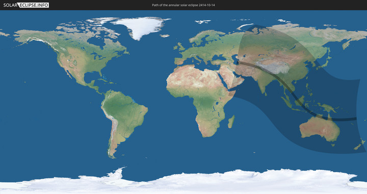
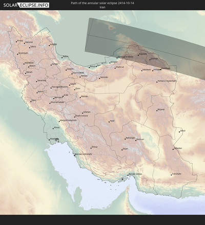
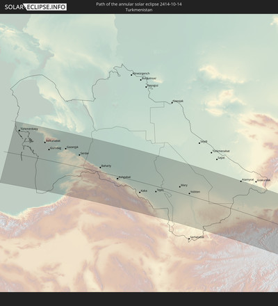
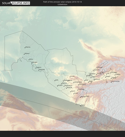
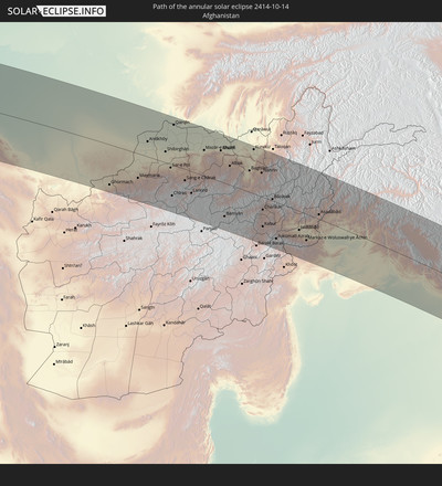
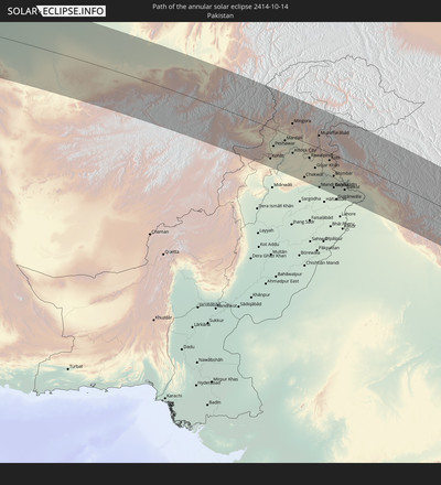
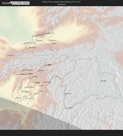
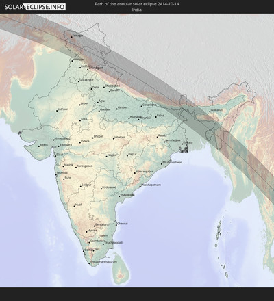
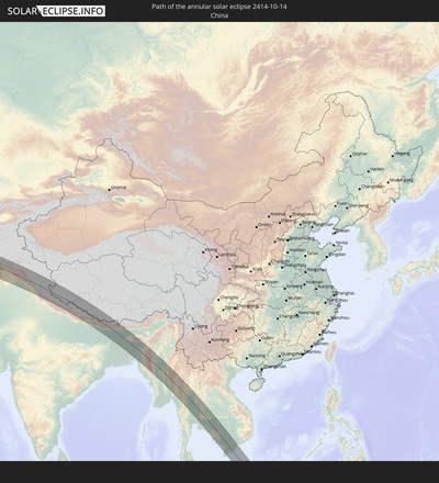
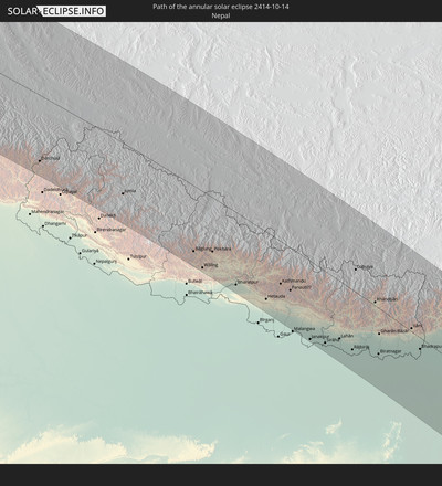
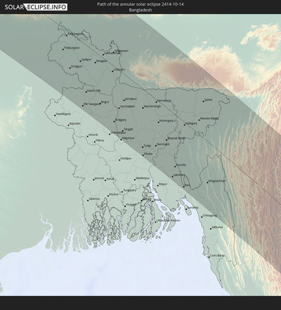
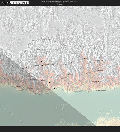
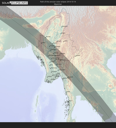
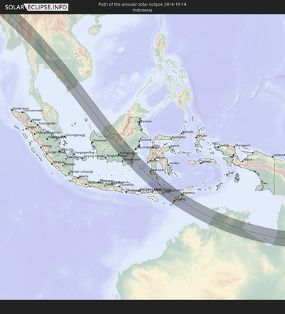
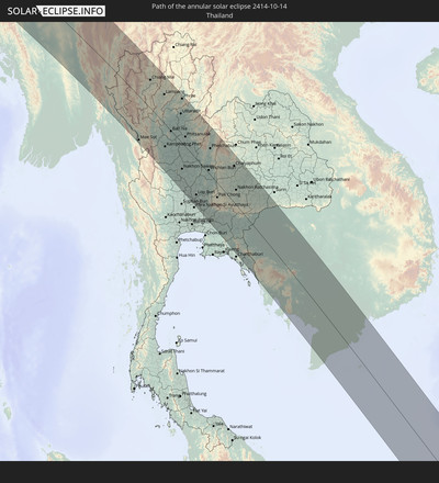
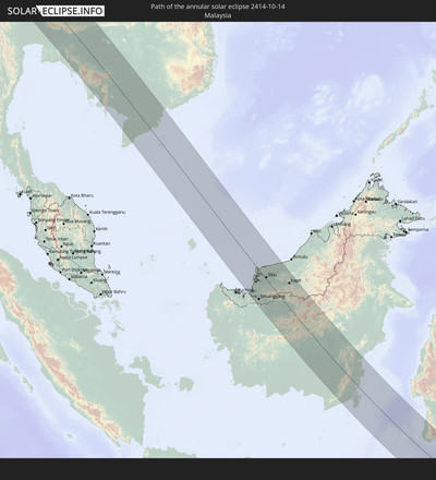
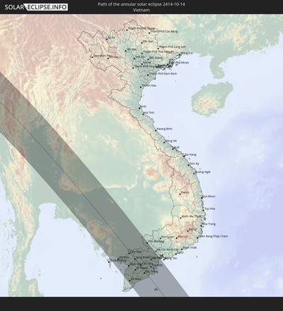
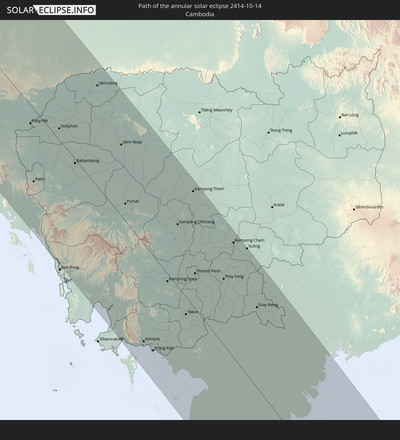
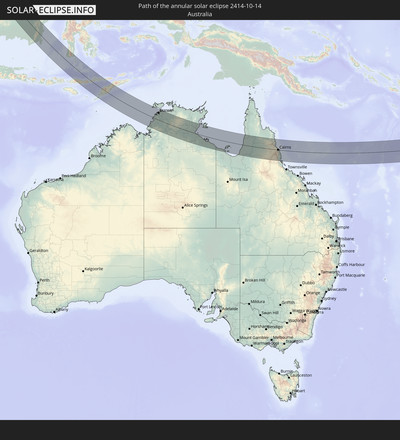
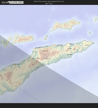
Annular solar eclipse of 10/14/2414
| Day of week: | Tuesday |
| Maximum duration of eclipse: | 07m34s |
| Maximum width of eclipse path: | 245 km |
| Saros cycle: | 150 |
| Coverage: | 93.6% |
| Magnitude: | 0.9355 |
| Gamma: | 0.2015 |
Wo kann man die Sonnenfinsternis vom 10/14/2414 sehen?
Die Sonnenfinsternis am 10/14/2414 kann man in 59 Ländern als partielle Sonnenfinsternis beobachten.
Der Finsternispfad verläuft durch 21 Länder. Nur in diesen Ländern ist sie als annular Sonnenfinsternis zu sehen.
In den folgenden Ländern ist die Sonnenfinsternis annular zu sehen
In den folgenden Ländern ist die Sonnenfinsternis partiell zu sehen
 Russia
 New Zealand
 United States Minor Outlying Islands
 Kiribati
 Ethiopia
 Saudi Arabia
 Somalia
 Yemen
Yemen
 Iran
Iran
 Kazakhstan
 Bahrain
 Qatar
Qatar
 United Arab Emirates
 Oman
Oman
 Turkmenistan
 Uzbekistan
 Afghanistan
 Pakistan
 Tajikistan
 India
India
 Kyrgyzstan
 Maldives
 China
China
 Sri Lanka
 Nepal
Nepal
 Mongolia
 Bangladesh
 Bhutan
 Myanmar
 Indonesia
 Cocos Islands
 Thailand
 Malaysia
 Laos
Laos
 Vietnam
 Cambodia
 Singapore
 Christmas Island
 Australia
 Macau
Macau
 Hong Kong
 Brunei
 Taiwan
 Philippines
 Japan
Japan
 East Timor
 North Korea
 South Korea
 Palau
Palau
 Federated States of Micronesia
 Papua New Guinea
 Guam
Guam
 Northern Mariana Islands
 Solomon Islands
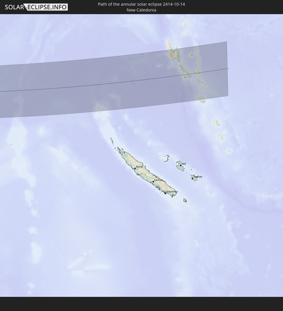
 New Caledonia
 Marshall Islands
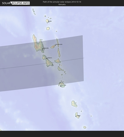
 Vanuatu
 Nauru
Nauru
 Norfolk Island
How will be the weather during the annular solar eclipse on 10/14/2414?
Where is the best place to see the annular solar eclipse of 10/14/2414?
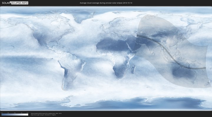
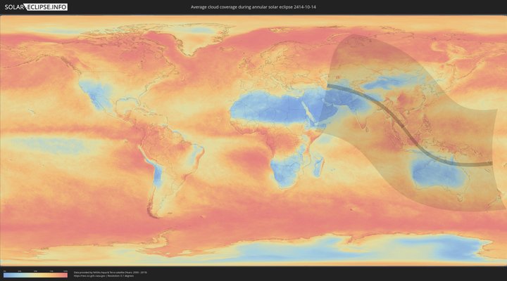
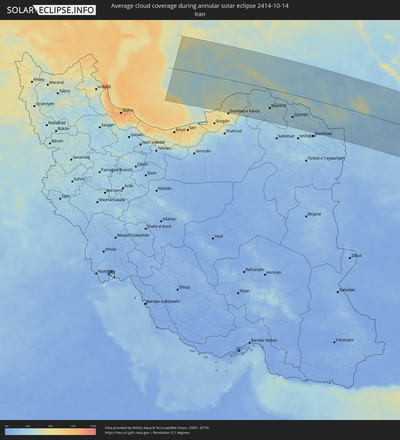
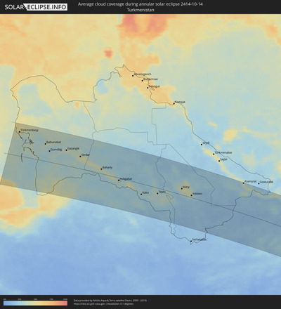
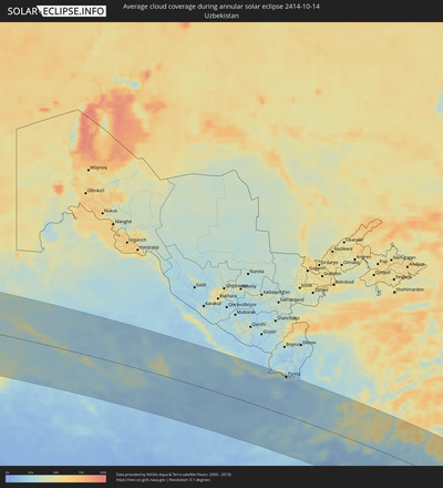
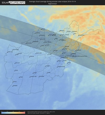
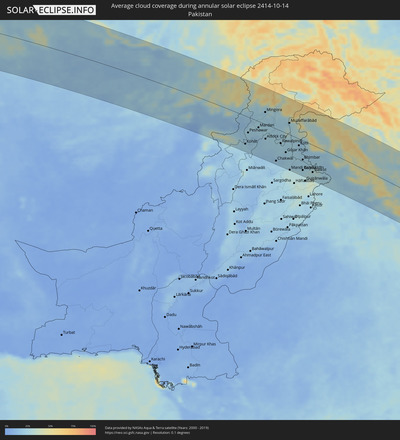
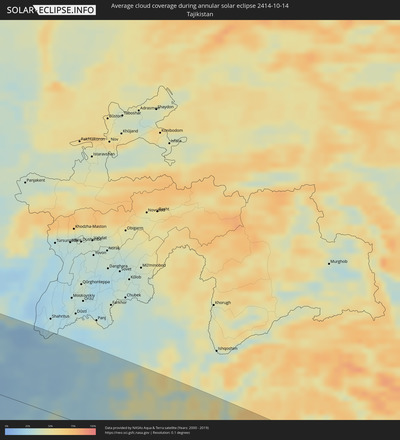
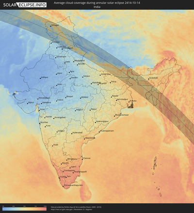
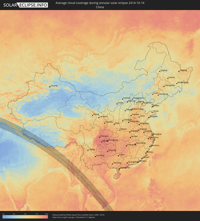
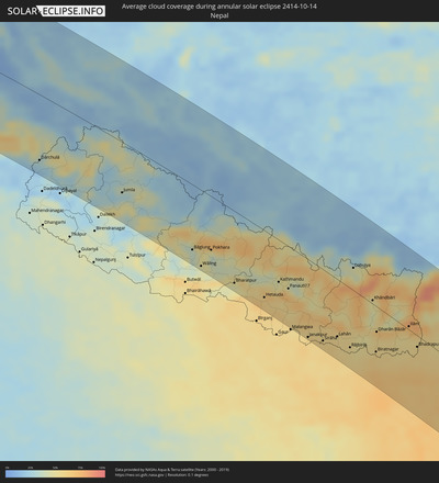
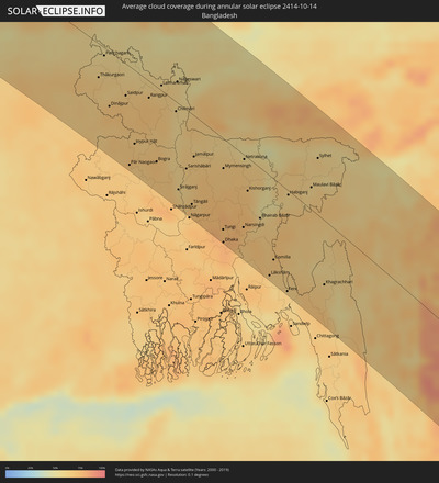
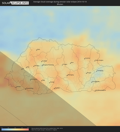
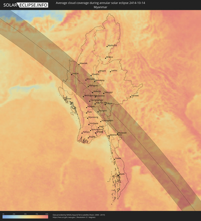
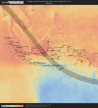
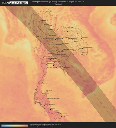
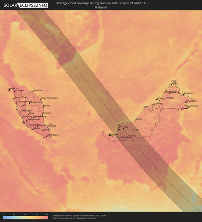
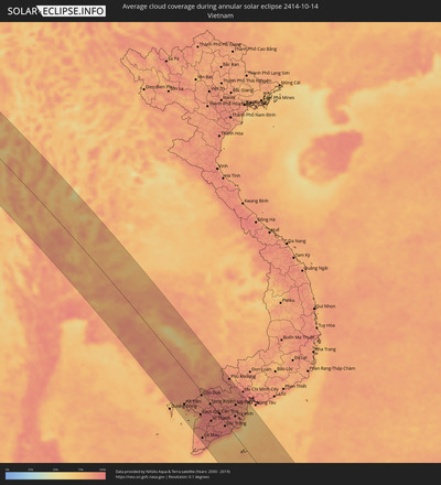
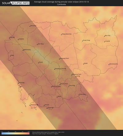
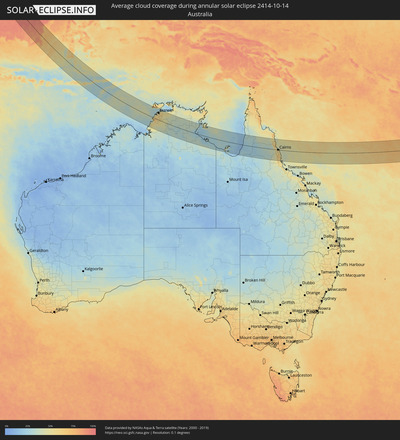
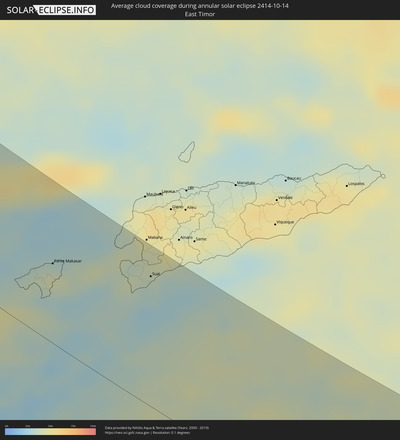
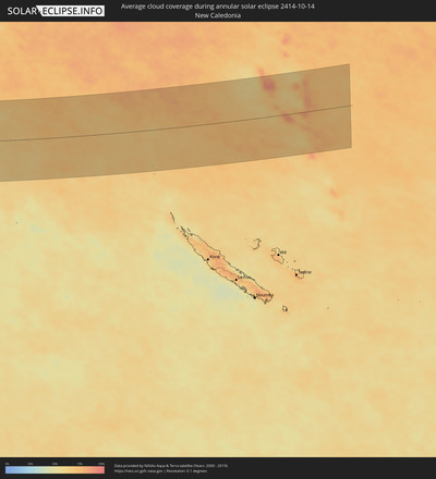
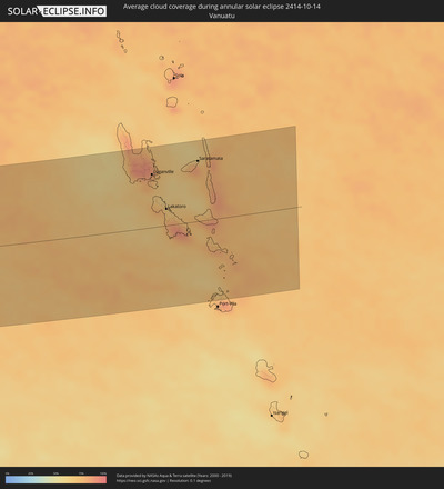
The following maps show the average cloud coverage for the day of the annular solar eclipse.
With the help of these maps, it is possible to find the place along the eclipse path, which has the best
chance of a cloudless sky.
Nevertheless, you should consider local circumstances and inform about the weather of your chosen
observation site.
The data is provided by NASAs satellites
AQUA and TERRA.
The cloud maps are averaged over a period of 19 years (2000 - 2019).
Detailed country maps
Cities inside the path of the eclipse
The following table shows all locations with a population of more than 5,000 inside the eclipse path. Cities which have more than 100,000 inhabitants are marked bold. A click at the locations opens a detailed map.
| City | Type | Eclipse duration | Local time of max. eclipse | Distance to central line | Ø Cloud coverage |
 Türkmenbaşy, Balkan
|
annular | - | 07:44:44 UTC+05:00 | 112 km | 37% |
 Balkanabat, Balkan
|
annular | - | 07:44:41 UTC+05:00 | 80 km | 34% |
 Gumdag, Balkan
|
annular | - | 07:44:37 UTC+05:00 | 51 km | 29% |
 Kalāleh, Golestān
|
annular | - | 06:14:19 UTC+03:30 | 132 km | 44% |
 Bojnūrd, Khorāsān-e Shomālī
|
annular | - | 06:14:37 UTC+03:30 | 85 km | 28% |
 Esfarāyen, Khorāsān-e Shomālī
|
annular | - | 06:14:35 UTC+03:30 | 125 km | 24% |
 Shīrvān, Khorāsān-e Shomālī
|
annular | - | 06:14:43 UTC+03:30 | 81 km | 24% |
 Abadan, Ahal
|
annular | - | 07:44:53 UTC+05:00 | 5 km | 35% |
 Ashgabat, Ahal
|
annular | - | 07:44:54 UTC+05:00 | 12 km | 35% |
 Qūchān, Razavi Khorasan
|
annular | - | 06:14:47 UTC+03:30 | 100 km | 27% |
 Annau, Ahal
|
annular | - | 07:44:55 UTC+05:00 | 16 km | 29% |
 Chenārān, Razavi Khorasan
|
annular | - | 06:14:52 UTC+03:30 | 137 km | 20% |
 Tejen, Ahal
|
annular | - | 07:45:17 UTC+05:00 | 26 km | 32% |
 Sarakhs, Razavi Khorasan
|
annular | - | 06:15:22 UTC+03:30 | 100 km | 21% |
 Mary, Mary
|
annular | - | 07:45:40 UTC+05:00 | 28 km | 39% |
 Bayramaly, Mary
|
annular | - | 07:45:46 UTC+05:00 | 39 km | 41% |
 Yolöten, Mary
|
annular | - | 07:45:47 UTC+05:00 | 10 km | 29% |
 Maymana, Faryab
|
annular | - | 07:16:32 UTC+04:30 | 73 km | 18% |
 Atamyrat, Lebap
|
annular | - | 07:46:47 UTC+05:00 | 141 km | 33% |
 Balkh, Balkh
|
annular | - | 07:17:23 UTC+04:30 | 75 km | 30% |
 Mazār-e Sharīf, Balkh
|
annular | - | 07:17:29 UTC+04:30 | 76 km | 24% |
 Tirmiz, Surxondaryo
|
annular | - | 07:47:34 UTC+05:00 | 135 km | 26% |
 Khulm, Balkh
|
annular | - | 07:17:44 UTC+04:30 | 93 km | 20% |
 Bāmyān, Bamyan
|
annular | - | 07:17:52 UTC+04:30 | 100 km | 21% |
 Baghlān, Baghlan
|
annular | - | 07:18:13 UTC+04:30 | 64 km | 25% |
 Kunduz, Kunduz
|
annular | - | 07:18:16 UTC+04:30 | 131 km | 30% |
 Khanabad, Kunduz
|
annular | - | 07:18:23 UTC+04:30 | 135 km | 30% |
 Kabul, Kabul
|
annular | - | 07:18:34 UTC+04:30 | 88 km | 10% |
 Bāzārak, Panjshir
|
annular | - | 07:18:40 UTC+04:30 | 5 km | 25% |
 Jalālābād, Nangarhar
|
annular | - | 07:19:16 UTC+04:30 | 56 km | 15% |
 Kohāt, Khyber Pakhtunkhwa
|
annular | - | 07:49:59 UTC+05:00 | 109 km | 23% |
 Peshawar, Khyber Pakhtunkhwa
|
annular | - | 07:49:59 UTC+05:00 | 60 km | 22% |
 Mardan, Khyber Pakhtunkhwa
|
annular | - | 07:50:13 UTC+05:00 | 24 km | 23% |
 Mingora, Khyber Pakhtunkhwa
|
annular | - | 07:50:18 UTC+05:00 | 47 km | 23% |
 Rawalpindi, Punjab
|
annular | - | 07:50:59 UTC+05:00 | 49 km | 24% |
 Muzaffarābād, Azad Kashmir
|
annular | - | 07:51:04 UTC+05:00 | 45 km | 23% |
 Jhelum, Punjab
|
annular | - | 07:51:35 UTC+05:00 | 92 km | 21% |
 Kotli, Azad Kashmir
|
annular | - | 07:51:33 UTC+05:00 | 26 km | 21% |
 Bhimbar, Azad Kashmir
|
annular | - | 07:51:49 UTC+05:00 | 74 km | 22% |
 Gujrāt, Punjab
|
annular | - | 07:51:56 UTC+05:00 | 115 km | 24% |
 Sialkot, Punjab
|
annular | - | 07:52:16 UTC+05:00 | 106 km | 27% |
 Srinagar, Kashmir
|
annular | - | 08:22:00 UTC+05:30 | 66 km | 28% |
 Jammu, Kashmir
|
annular | - | 08:22:26 UTC+05:30 | 68 km | 24% |
 Pathānkot, Punjab
|
annular | - | 08:23:09 UTC+05:30 | 83 km | 21% |
 Burang, Tibet Autonomous Region
|
annular | - | 10:58:42 UTC+08:00 | 35 km | 16% |
 Pokhara, Western Region
|
annular | - | 08:47:53 UTC+05:45 | 89 km | 48% |
 Bharatpur, Central Region
|
annular | - | 08:48:52 UTC+05:45 | 119 km | 45% |
 Hetauda, Central Region
|
annular | - | 08:49:44 UTC+05:45 | 110 km | 64% |
 Kathmandu, Central Region
|
annular | - | 08:49:49 UTC+05:45 | 69 km | 48% |
 Panauti̇̄, Central Region
|
annular | - | 08:50:08 UTC+05:45 | 69 km | 64% |
 Janakpur, Central Region
|
annular | - | 08:51:22 UTC+05:45 | 128 km | 59% |
 Lahān, Eastern Region
|
annular | - | 08:52:02 UTC+05:45 | 93 km | 59% |
 Rājbirāj, Eastern Region
|
annular | - | 08:52:32 UTC+05:45 | 97 km | 56% |
 Biratnagar, Eastern Region
|
annular | - | 08:53:13 UTC+05:45 | 74 km | 60% |
 Ithari, Eastern Region
|
annular | - | 08:53:02 UTC+05:45 | 54 km | 56% |
 Dharān Bāzār, Eastern Region
|
annular | - | 08:52:53 UTC+05:45 | 41 km | 60% |
 Purnia, Bihar
|
annular | - | 08:39:10 UTC+05:30 | 123 km | 69% |
 Rāiganj, West Bengal
|
annular | - | 08:40:08 UTC+05:30 | 100 km | 64% |
 Shiliguri, West Bengal
|
annular | - | 08:39:21 UTC+05:30 | 16 km | 57% |
 Dinājpur, Rangpur Division
|
annular | - | 09:10:45 UTC+06:00 | 68 km | 71% |
 Bālurghāt, West Bengal
|
annular | - | 08:41:23 UTC+05:30 | 96 km | 69% |
 Saidpur, Rājshāhi
|
annular | - | 09:10:54 UTC+06:00 | 39 km | 67% |
 Pār Naogaon, Rājshāhi
|
annular | - | 09:12:04 UTC+06:00 | 123 km | 69% |
 Samtse, Samchi
|
annular | - | 09:09:59 UTC+06:00 | 73 km | 67% |
 Rangpur, Rangpur Division
|
annular | - | 09:11:24 UTC+06:00 | 21 km | 70% |
 Ha, Haa District
|
annular | - | 09:09:43 UTC+06:00 | 127 km | 55% |
 Bogra, Rājshāhi
|
annular | - | 09:12:33 UTC+06:00 | 93 km | 71% |
 Jaigaon, West Bengal
|
annular | - | 08:40:22 UTC+05:30 | 85 km | 54% |
 Phuntsholing, Chukha District
|
annular | - | 08:40:23 UTC+05:30 | 86 km | 63% |
 Tsimasham, Chukha District
|
annular | - | 09:10:19 UTC+06:00 | 117 km | 71% |
 Tungi, Dhaka
|
annular | - | 09:15:04 UTC+06:00 | 112 km | 75% |
 Mymensingh, Dhaka
|
annular | - | 09:14:01 UTC+06:00 | 36 km | 68% |
 Dhaka, Dhaka
|
annular | - | 09:15:18 UTC+06:00 | 128 km | 79% |
 Narsingdi, Dhaka
|
annular | - | 09:15:27 UTC+06:00 | 89 km | 71% |
 Comilla, Chittagong
|
annular | - | 09:16:41 UTC+06:00 | 99 km | 69% |
 Agartala, Tripura
|
annular | - | 08:46:19 UTC+05:30 | 61 km | 70% |
 Sylhet, Sylhet
|
annular | - | 09:15:48 UTC+06:00 | 69 km | 63% |
 Aizawl, Mizoram
|
annular | - | 08:48:27 UTC+05:30 | 24 km | 68% |
 Silchar, Assam
|
annular | - | 08:47:08 UTC+05:30 | 123 km | 52% |
 Chauk, Magway
|
annular | - | 09:55:38 UTC+06:30 | 67 km | 81% |
 Yenangyaung, Magway
|
annular | - | 09:56:24 UTC+06:30 | 99 km | 83% |
 Magway, Magway
|
annular | - | 09:57:00 UTC+06:30 | 120 km | 83% |
 Pakokku, Magway
|
annular | - | 09:55:21 UTC+06:30 | 13 km | 81% |
 Monywa, Sagain
|
annular | - | 09:54:15 UTC+06:30 | 54 km | 82% |
 Myingyan, Mandalay
|
annular | - | 09:55:37 UTC+06:30 | 19 km | 80% |
 Meiktila, Mandalay
|
annular | - | 09:57:15 UTC+06:30 | 6 km | 76% |
 Mandalay, Mandalay
|
annular | - | 09:55:53 UTC+06:30 | 110 km | 75% |
 Nay Pyi Taw, Nay Pyi Taw
|
annular | - | 09:59:33 UTC+06:30 | 65 km | 76% |
 Taungoo, Bago
|
annular | - | 10:01:24 UTC+06:30 | 106 km | 61% |
 Taunggyi, Shan
|
annular | - | 09:59:15 UTC+06:30 | 84 km | 81% |
 Chiang Mai, Chiang Mai
|
annular | - | 10:35:52 UTC+07:00 | 74 km | 80% |
 Lampang, Lampang
|
annular | - | 10:37:38 UTC+07:00 | 75 km | 80% |
 Kamphaeng Phet, Kamphaeng Phet
|
annular | - | 10:41:09 UTC+07:00 | 59 km | 82% |
 Uttaradit, Uttaradit
|
annular | - | 10:39:55 UTC+07:00 | 72 km | 73% |
 Nakhon Sawan, Nakhon Sawan
|
annular | - | 10:43:48 UTC+07:00 | 67 km | 82% |
 Phitsanulok, Phitsanulok
|
annular | - | 10:41:46 UTC+07:00 | 25 km | 82% |
 Lop Buri, Lop Buri
|
annular | - | 10:46:36 UTC+07:00 | 92 km | 83% |
 Phra Phutthabat, Sara Buri
|
annular | - | 10:47:00 UTC+07:00 | 86 km | 83% |
 Saraburi, Sara Buri
|
annular | - | 10:47:38 UTC+07:00 | 90 km | 81% |
 Chaiyaphum, Chaiyaphum
|
annular | - | 10:46:57 UTC+07:00 | 93 km | 70% |
 Nakhon Ratchasima, Nakhon Ratchasima
|
annular | - | 10:48:51 UTC+07:00 | 38 km | 82% |
 Paôy Pêt, Banteay Meanchey
|
annular | - | 10:52:33 UTC+07:00 | 18 km | 85% |
 Battambang, Battambang
|
annular | - | 10:54:59 UTC+07:00 | 4 km | 88% |
 Siem Reap, Siem Reap
|
annular | - | 10:55:39 UTC+07:00 | 70 km | 83% |
 Pursat, Pursat
|
annular | - | 10:57:37 UTC+07:00 | 17 km | 84% |
 Kampong Speu, Kampong Speu
|
annular | - | 11:01:18 UTC+07:00 | 7 km | 87% |
 Kampong Chhnang, Kampong Chhnang
|
annular | - | 10:59:44 UTC+07:00 | 60 km | 70% |
 Takeo, Takeo
|
annular | - | 11:02:55 UTC+07:00 | 17 km | 87% |
 Phnom Penh, Phnom Penh
|
annular | - | 11:01:49 UTC+07:00 | 34 km | 90% |
 Rạch Giá, Kiến Giang
|
annular | - | 11:05:51 UTC+07:00 | 59 km | 90% |
 Cho Dok, An Giang
|
annular | - | 11:04:16 UTC+07:00 | 8 km | 88% |
 Cà Mau, Cà Mau
|
annular | - | 11:08:02 UTC+07:00 | 110 km | 92% |
 Prey Veng, Prey Veng
|
annular | - | 11:02:48 UTC+07:00 | 64 km | 79% |
 Long Xuyên, An Giang
|
annular | - | 11:05:39 UTC+07:00 | 2 km | 94% |
 Kampong Cham, Kampong Cham
|
annular | - | 11:01:53 UTC+07:00 | 111 km | 80% |
 Suŏng, Tboung Khmum
|
annular | - | 11:02:27 UTC+07:00 | 122 km | 80% |
 Thành phố Bạc Liêu, Bạc Liêu
|
annular | - | 11:08:54 UTC+07:00 | 52 km | 88% |
 Cần Thơ, Cần Thơ
|
annular | - | 11:07:12 UTC+07:00 | 4 km | 94% |
 Sóc Trăng, Sóc Trăng
|
annular | - | 11:08:38 UTC+07:00 | 10 km | 97% |
 Vĩnh Long, Vĩnh Long
|
annular | - | 11:07:03 UTC+07:00 | 35 km | 93% |
 Mỹ Tho, Tiền Giang
|
annular | - | 11:07:34 UTC+07:00 | 76 km | 89% |
 Tân An, Long An
|
annular | - | 11:07:14 UTC+07:00 | 92 km | 92% |
 Cần Giuộc, Long An
|
annular | - | 11:07:35 UTC+07:00 | 120 km | 90% |
 Simanggang, Sarawak
|
annular | - | 12:42:00 UTC+08:00 | 98 km | 93% |
 Sarikei, Sarawak
|
annular | - | 12:39:49 UTC+08:00 | 32 km | 89% |
 Sibu, Sarawak
|
annular | - | 12:39:59 UTC+08:00 | 7 km | 87% |
 Kapit, Sarawak
|
annular | - | 12:43:15 UTC+08:00 | 84 km | 86% |
 Amuntai, South Kalimantan
|
annular | - | 13:00:17 UTC+08:00 | 40 km | 84% |
 Barabai, South Kalimantan
|
annular | - | 13:01:02 UTC+08:00 | 41 km | 87% |
 Galesong, South Sulawesi
|
annular | - | 13:17:08 UTC+08:00 | 59 km | 57% |
 Makassar, South Sulawesi
|
annular | - | 13:16:53 UTC+08:00 | 77 km | 53% |
 Ende, East Nusa Tenggara
|
annular | - | 13:30:32 UTC+08:00 | 78 km | 59% |
 Maumere, East Nusa Tenggara
|
annular | - | 13:31:16 UTC+08:00 | 22 km | 46% |
 Kupang, East Nusa Tenggara
|
annular | - | 13:37:37 UTC+08:00 | 73 km | 35% |
 Soe, East Nusa Tenggara
|
annular | - | 13:38:27 UTC+08:00 | 3 km | 33% |
 Pante Makasar, Oecusse
|
annular | - | 14:37:19 UTC+09:00 | 65 km | 43% |
 Kefamenanu, East Nusa Tenggara
|
annular | - | 13:38:02 UTC+08:00 | 48 km | 29% |
 Atambua, East Nusa Tenggara
|
annular | - | 13:38:15 UTC+08:00 | 104 km | 39% |
 Suai, Cova Lima
|
annular | - | 14:39:29 UTC+09:00 | 107 km | 34% |
 Darwin, Northern Territory
|
annular | - | 15:26:42 UTC+09:30 | 88 km | 51% |
 Palmerston, Northern Territory
|
annular | - | 15:27:00 UTC+09:30 | 92 km | 61% |
 McMinns Lagoon, Northern Territory
|
annular | - | 15:27:21 UTC+09:30 | 90 km | 60% |
 Katherine, Northern Territory
|
annular | - | 15:32:17 UTC+09:30 | 60 km | 34% |
 Mareeba, Queensland
|
annular | - | 16:23:51 UTC+10:00 | 10 km | 47% |
 Atherton, Queensland
|
annular | - | 16:24:06 UTC+10:00 | 40 km | 55% |
 Redlynch, Queensland
|
annular | - | 16:24:04 UTC+10:00 | 6 km | 60% |
 Cairns, Queensland
|
annular | - | 16:24:10 UTC+10:00 | 2 km | 53% |
 Innisfail, Queensland
|
annular | - | 16:24:51 UTC+10:00 | 62 km | 57% |
 Luganville, Sanma
|
annular | - | 17:36:00 UTC+11:00 | 99 km | 74% |
 Lakatoro, Malampa
|
annular | - | 17:36:12 UTC+11:00 | 31 km | 72% |
 Saratamata, Penama
|
annular | - | 17:36:02 UTC+11:00 | 113 km | 74% |
